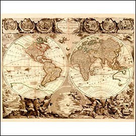
In this section you will find a carefully selected range of antique maps for sale, including original antique maps, old city plans, engraved maps, antique cartography, maps of countries, regions, continents, coasts, sea routes, antique atlases, urban plans, cartographic views and other period geographical documents.
Antique maps form one of the most attractive areas of collecting art on paper. They are pieces that combine history, geography, science, travel, discovery, decoration and graphic beauty. Through them we can see how the world was represented in different periods and how cartographic knowledge evolved over the centuries.
The interest of antique maps is not limited to their decorative value. Many of them were made by prestigious cartographers, engravers, printers and publishers, and reflect discoveries, borders, old place names, trade routes, cities, territories, seas, mountains, rivers and ways of understanding the world that belong to each period.
Antique maps have a special value because they are historical documents and, at the same time, graphic works of great beauty. Each map preserves a specific vision of the world, marked by the knowledge, political interests, scientific advances, journeys, explorations and printing techniques of its time.
Unlike modern maps, created with technological means, antique maps were made from observations, measurements, travellers’ accounts, navigation, astronomical calculations, accumulated knowledge and workshop practice. For this reason, even their errors, distortions or omissions are today of enormous historical interest.
The value of an antique map depends on many factors: period, author, cartographer, engraver, publisher, rarity, state of preservation, quality of impression, paper, colouring, margins, provenance, subject represented, geographical importance, belonging to an atlas and visual appeal.
Original antique maps are period pieces made using historical printing techniques such as copper engraving, woodcut, lithography or other graphic procedures. They may come from atlases, travel books, geographical treatises, scientific publications or independent cartographic editions.
Their interest increases when they preserve a good impression, wide margins, antique paper, original or early colouring, decorative cartouches, scales, legends, compass roses, the inscription of the cartographer or publisher and a good general state of preservation.
Old city plans are highly appreciated by collectors and decorators. They allow us to understand the urban evolution of a city, its walls, districts, streets, squares, churches, palaces, bridges, gardens, fortifications and main historic buildings.
Old city plans have great documentary value, especially when they represent urban centres before renovations, expansions, demolitions, changes in layout or modern transformations. They are ideal pieces for offices, libraries, living rooms, professional studios and decorative projects related to a specific city.
Antique maps of countries and regions show the way specific territories were represented in the past. They may include political divisions, provinces, kingdoms, borders, cities, roads, rivers, mountains, coasts, ports and other geographical elements.
This type of antique cartography is especially interesting because it makes it possible to observe historical changes in borders, place names, territorial organisation and the political perception of each period.
Antique world maps and maps of the continents are pieces of great visual strength. They represent the global vision of the world at a particular time and show how the image of Europe, America, Asia, Africa, Oceania and the polar regions changed as geographical discoveries advanced.
Antique world maps and continental maps are often very decorative, especially when they include ornamental cartouches, allegorical figures, ships, sea monsters, compass roses, old colouring or large-format compositions.
Antique nautical maps and sea charts were fundamental tools for navigation. They represent coasts, ports, routes, islands, capes, bays, soundings, winds, currents and other essential elements for sea travel.
These pieces have great historical interest because of their connection with exploration, maritime trade, expeditions, naval navigation and geographical expansion. They also stand out for their graphic beauty and for the frequent presence of compass roses, rhumb lines and coastal details.
Antique atlases bring together sets of maps published in a single work. They may be devoted to the world, a continent, a country, a region, navigation, history, political geography or scientific cartography.
Complete antique atlases are usually especially valued because they preserve the original unity of the work. There are also individual maps taken from antique atlases, highly sought after by collectors when they correspond to important cartographers, rare editions or territories of special interest.
The history of antique cartography is also the history of human curiosity to understand and represent the world. From the first symbolic representations of Antiquity to the scientific maps of the 18th and 19th centuries, cartography reflects the progress of geographical knowledge.
In Antiquity, Greeks and Romans made important contributions to the representation of territory, incorporating ideas about the shape of the Earth, distances, latitudes, longitudes and the organisation of known space.
During the Middle Ages, European maps combined geographical information with religious and symbolic elements. At the same time, geographers and travellers from the Islamic world developed works of enormous importance, with representations of territories, routes, seas, rivers and geographical features.
From the 15th and 16th centuries onwards, oceanic voyages, the discovery of America, commercial expansion and advances in navigation deeply transformed cartography. Maps began to include new continents, sea routes, more precise coastlines and an increasingly broad vision of the world.
During the 17th, 18th and 19th centuries, cartography achieved growing precision thanks to scientific development, improved instruments, the work of academies, cartographic workshops, printers, geographers and explorers. Many maps from these periods are now highly sought after by collectors.
Antique maps were created thanks to the joint work of cartographers, geographers, engravers, printers, publishers and specialised workshops. Some names achieved enormous prestige in the history of cartography for the quality, precision and dissemination of their works.
Among the great names of antique cartography are figures such as Gerardus Mercator, Abraham Ortelius, Joan Blaeu, Willem Blaeu, Hondius, Janssonius, Nicolas Sanson, Guillaume Delisle, Homann, Seutter, Bellin and many other European cartographers and publishers.
The presence of a recognised cartographer or publisher can greatly increase the interest of an antique map, especially if it is a rare edition, an important territory, a good impression or a piece with old colouring and excellent preservation.
Antique maps are ideal pieces both for collecting and for decoration. Their graphic strength, historical value and connection with specific territories make them especially attractive works for offices, libraries, living rooms, studios, galleries, hotels, restaurants, historic homes and personalised decorative projects.
An antique map can have a special meaning when it represents the country, city, region or place of origin of a person, family, company or collection. It may also be chosen for its aesthetic beauty, rarity, age, colouring, frame or connection with a journey, a route or a historical period.
When assessing an antique map, it is advisable to observe the paper, impression, margins, technique, state of preservation, colouring, inscriptions, cartouche, author, publisher, date, territory represented and possible provenance from an atlas.
At Antiguedades.es, we select antique maps for sale with special attention to authenticity, period, technique, state of preservation, quality of impression, paper, colouring, rarity, cartographer, publisher, territory represented and decorative value.
If you are looking for original antique maps, old plans, antique atlases, engraved maps, city maps, country maps, world maps, sea charts, antique cartography or old city plans, we recommend visiting this section frequently, as our catalogue is periodically updated with new additions.
If you have any questions about a piece, need additional photographs, precise measurements or information about its period, cartographer, publisher, technique, paper, condition, colouring, margins, provenance, territory represented or framing possibilities, please contact us. We will be happy to help you find the antique map best suited to your collection, office, library, living room, gallery or decorative project.
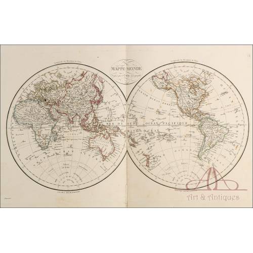
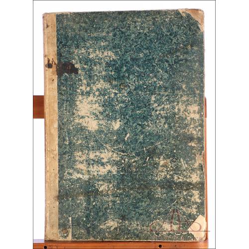
Spectacular atlas of 42 large folio-sized maps. It is complete. Worthy of a cartography museum. Spectacular atlas of 42 large...
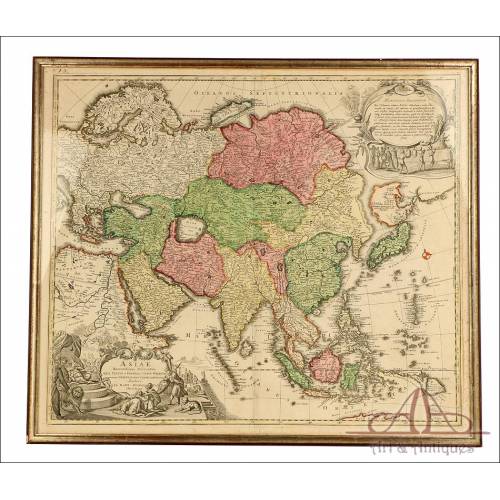
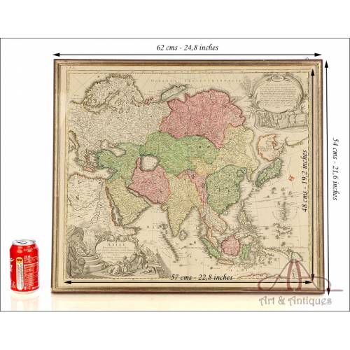
Original map of Asia, 17201730, by Johann Baptist Homann, hand-coloured, with Baroque cartouches and a gilded frame. A piece of great value. Original map of Asia, 17201730, by...

Chest cross in 18K gold with natural emeralds and old cut diamonds. Well...

Antique 18K gold cross with natural rubies and diamonds. Well preserved...

18K gold cross with natural emeralds and diamonds, circa 1900-1920,...

Antique pendant of the Virgin Mary in 18K gold with natural diamonds and...

Vintage 18K gold pendant with enamel of the Virgin Mary and faceted blue...

Antique pendant of Our Lady of the Forsaken in 18K gold with old cut...

Vintage 18K gold pendant with enamel of the Virgin and Child and faceted...

Vintage 18K gold pendant with enamel of the Virgin and Child and faceted...
A marvellous antique scale for...