


D-077
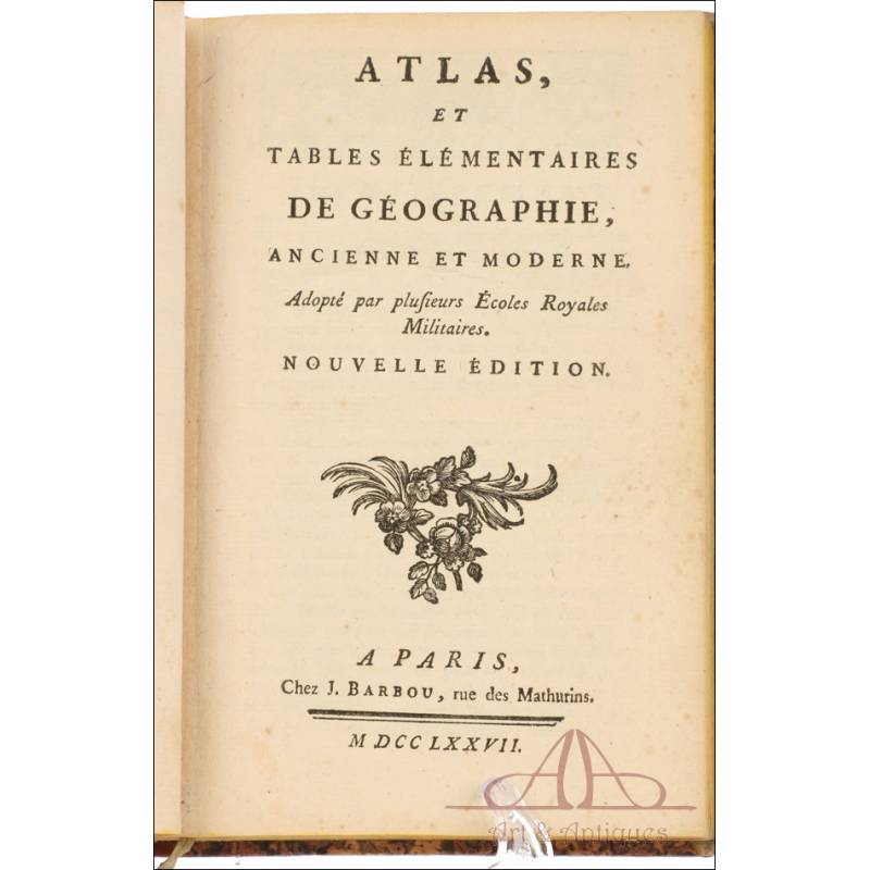
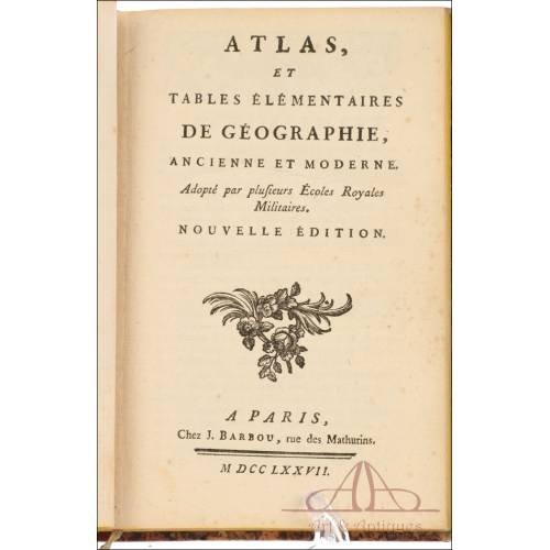
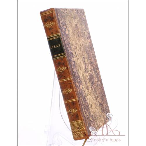
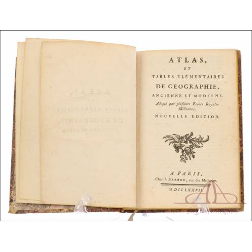
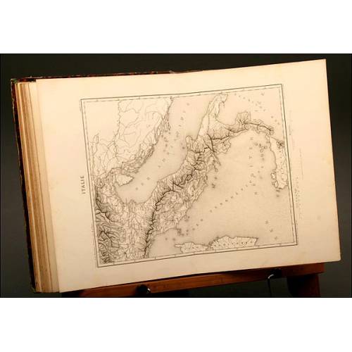
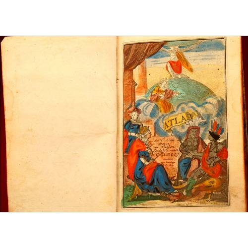
Antique Atlas of Geography for Royal Military Schools Officers. France, 1777.
Antique atlas of ancient and modern geography of military school students. Complete and finely preserved. Ancient coloring.
Sold!
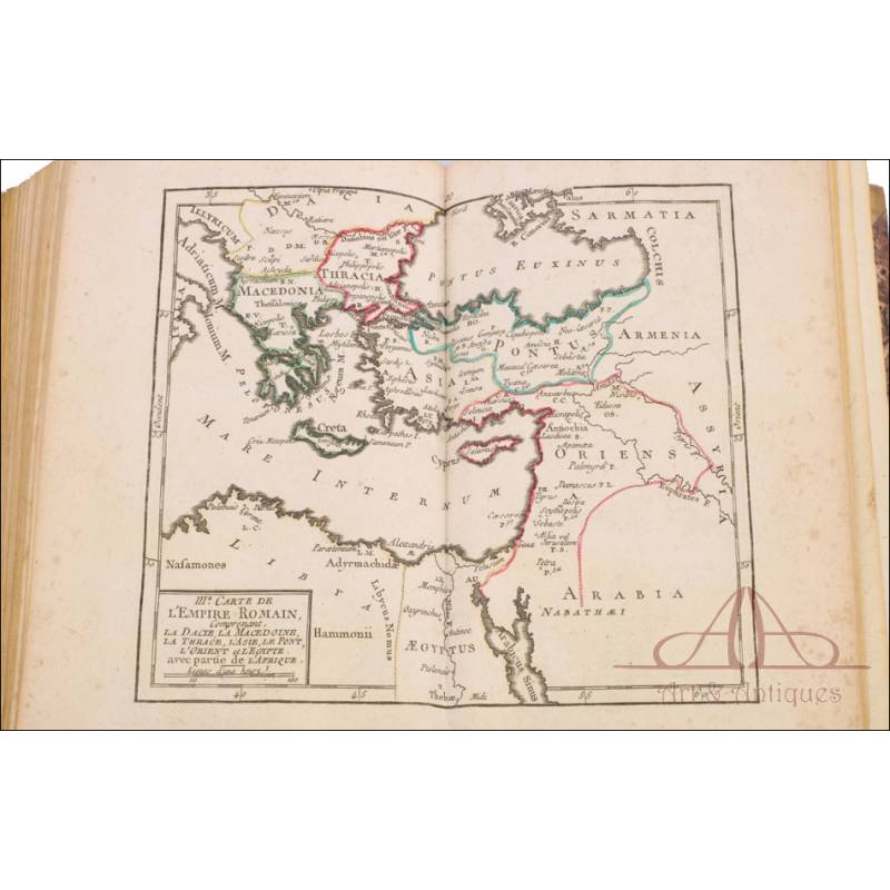
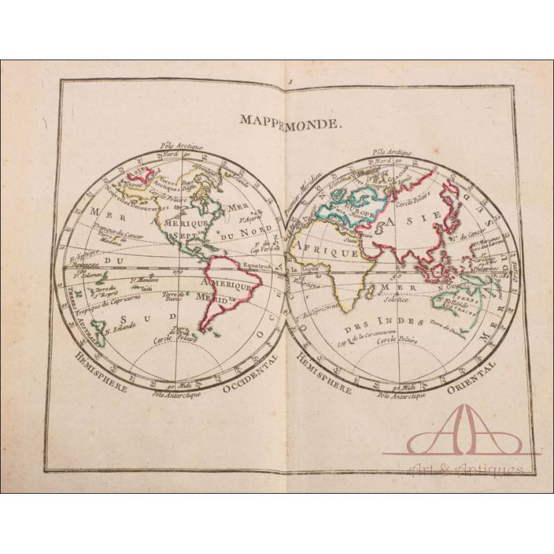
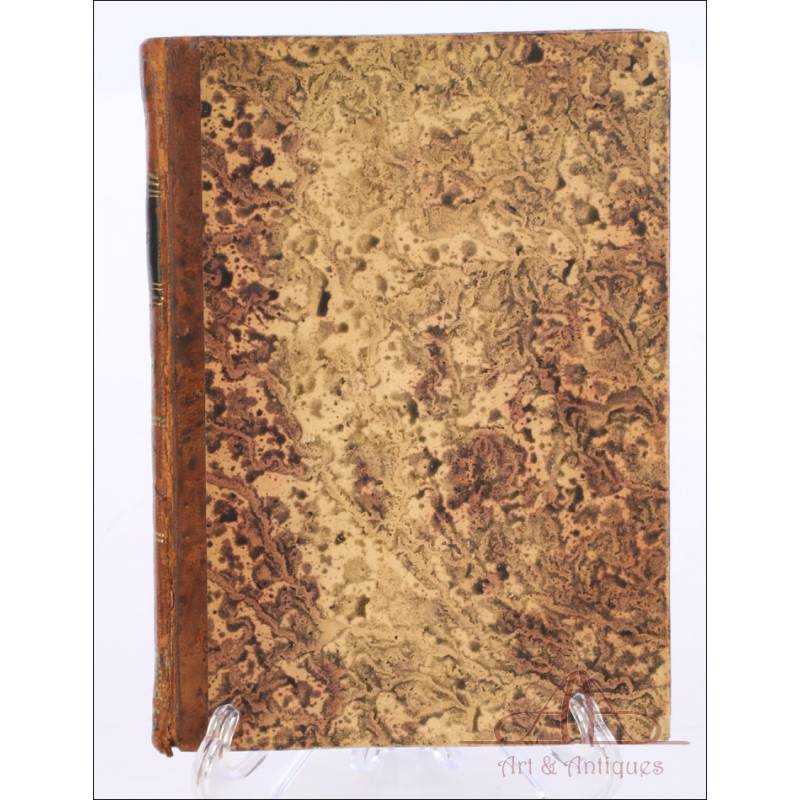
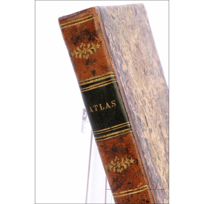
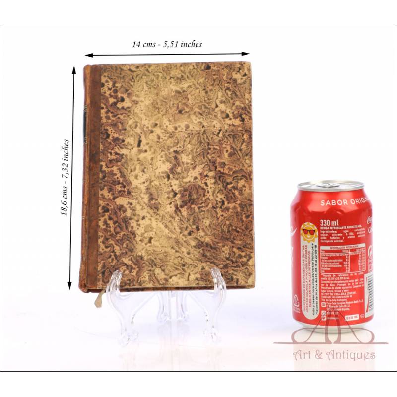
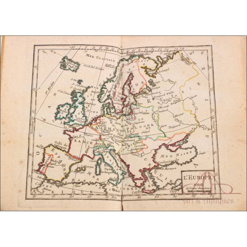
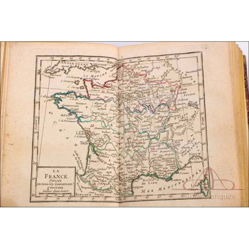
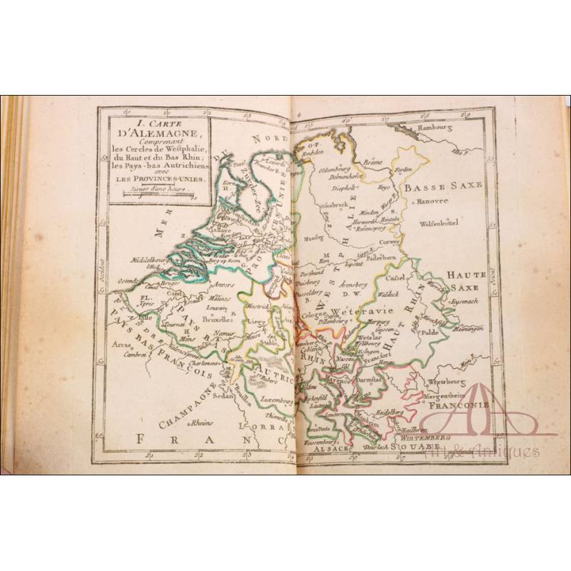
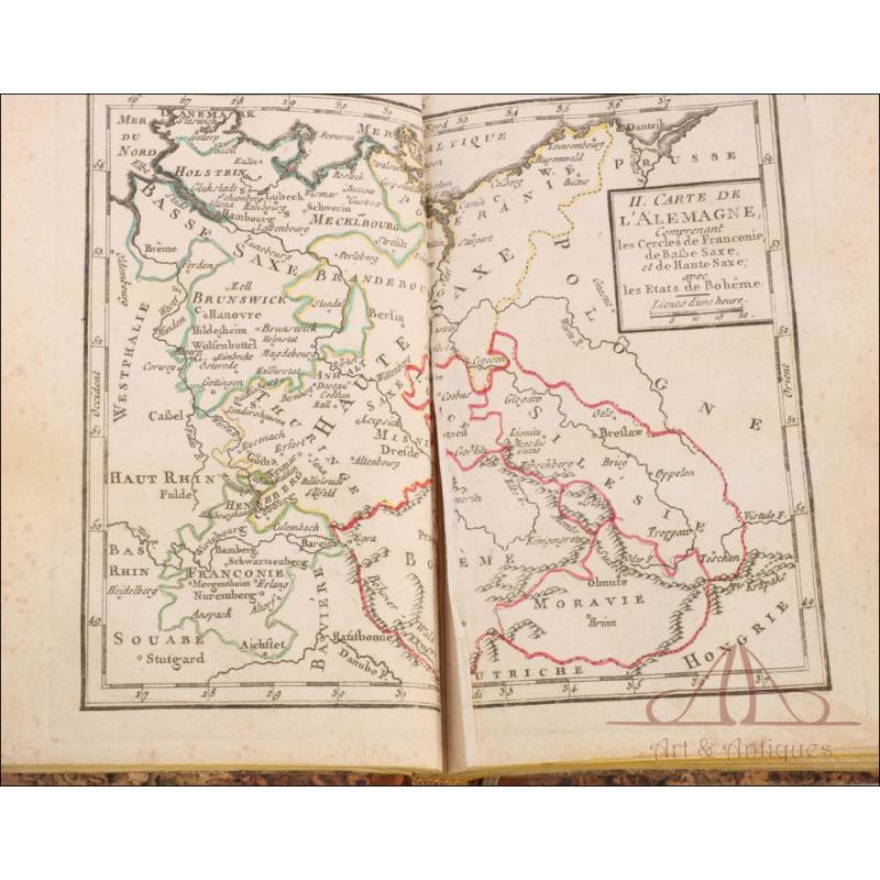
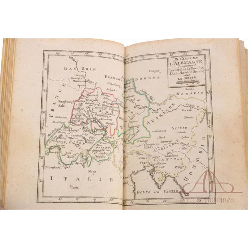
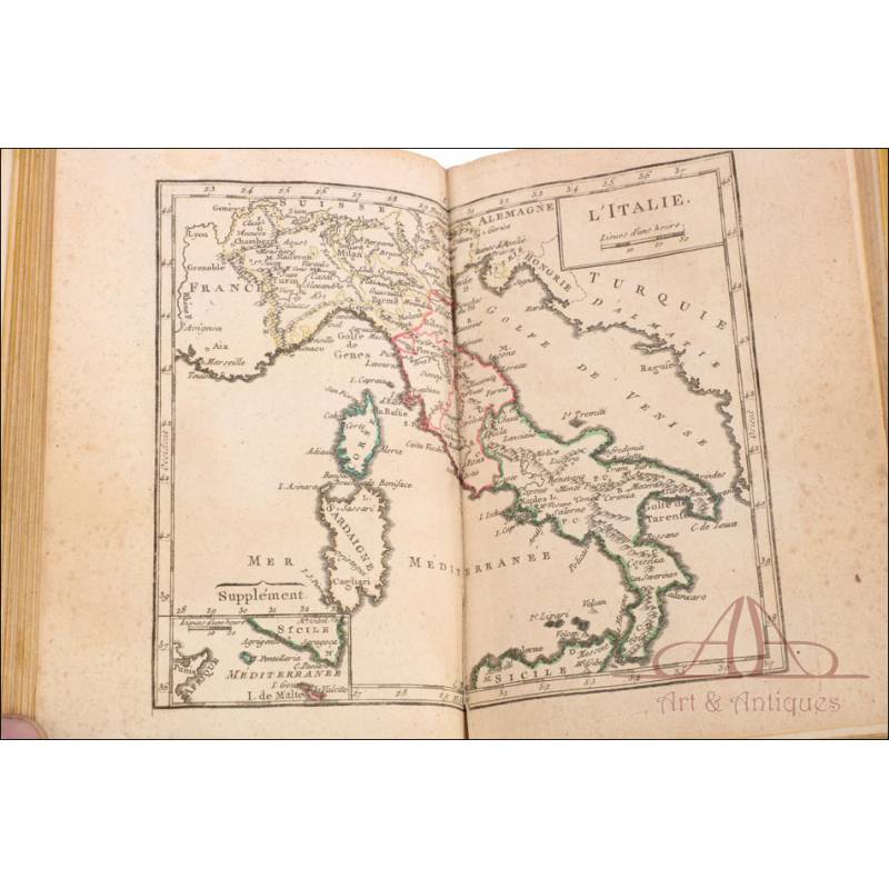
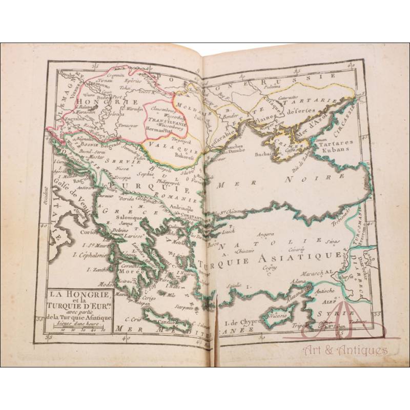
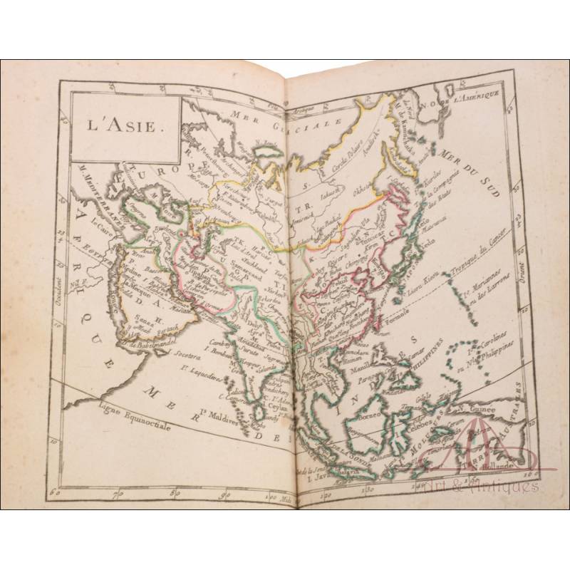
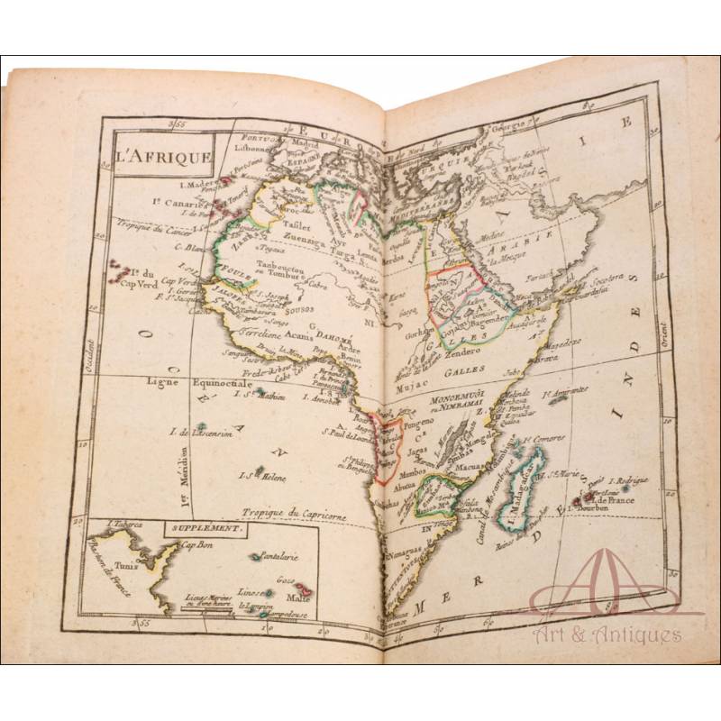
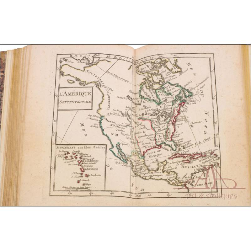
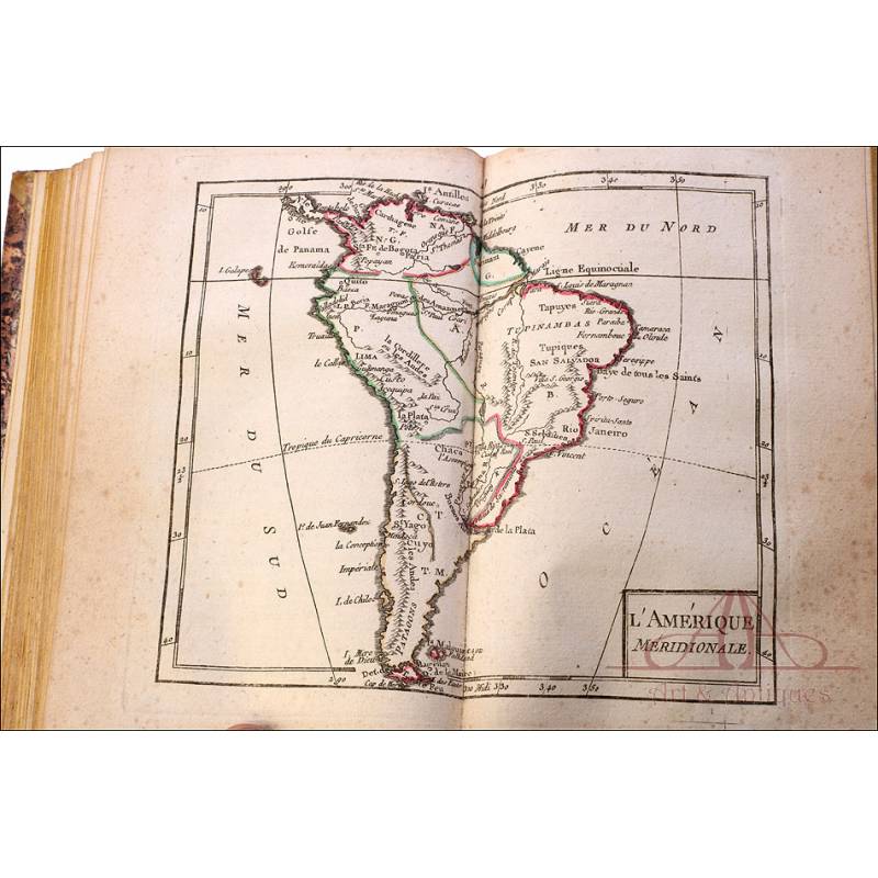
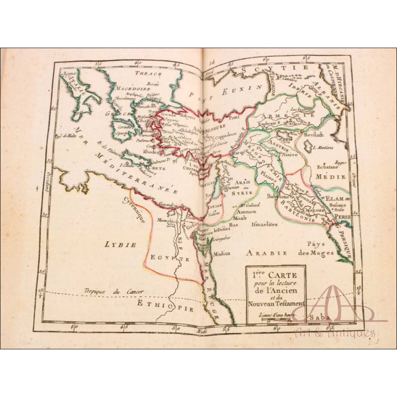
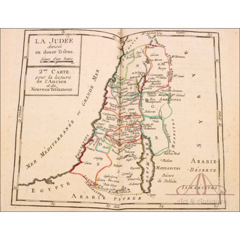
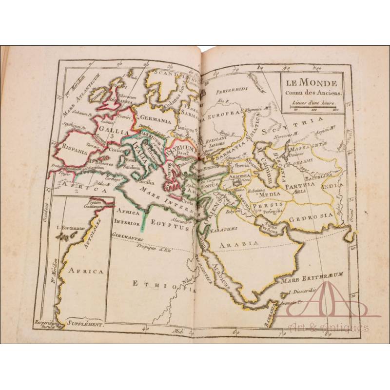
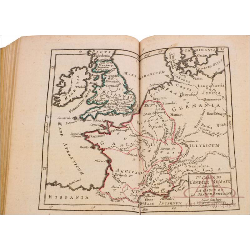
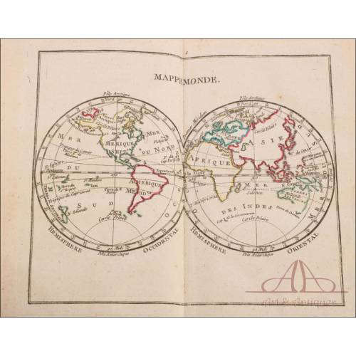
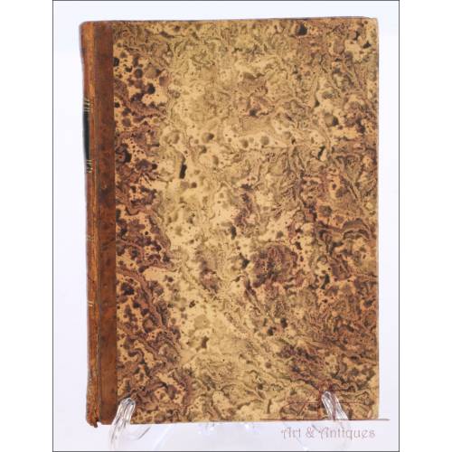
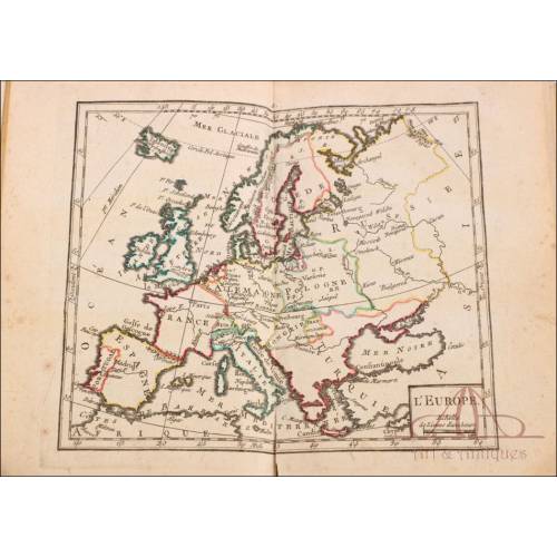
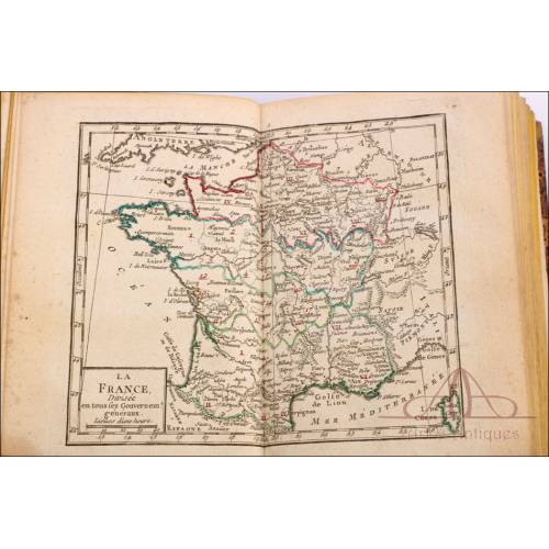
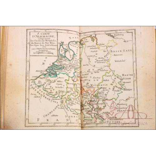
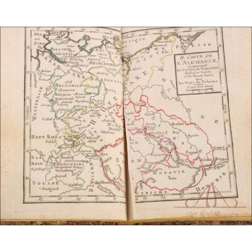
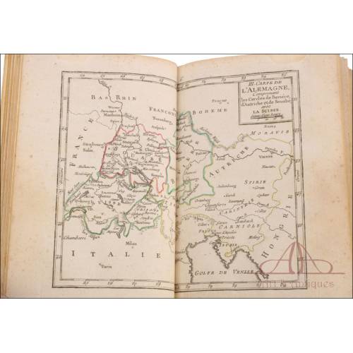
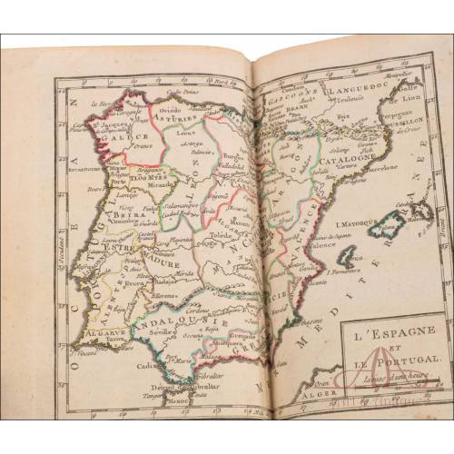
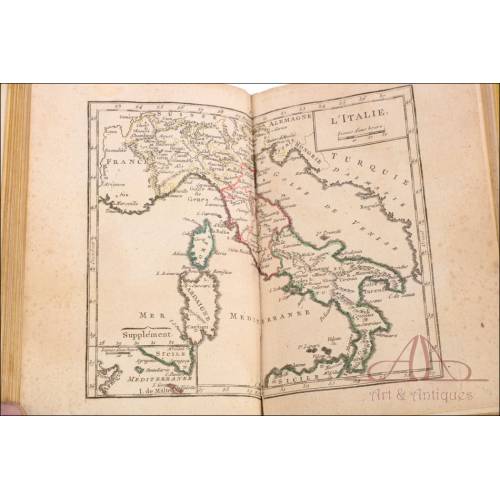
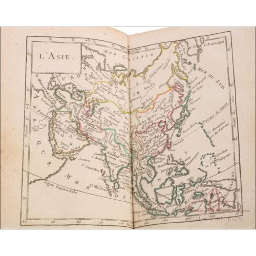
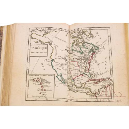
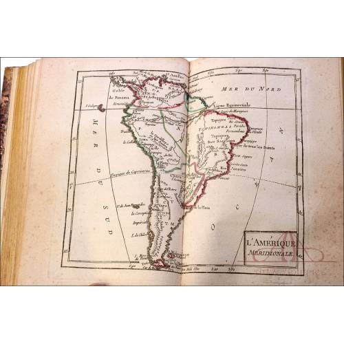
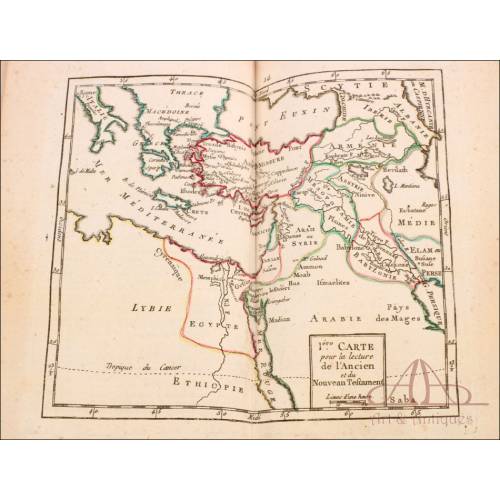
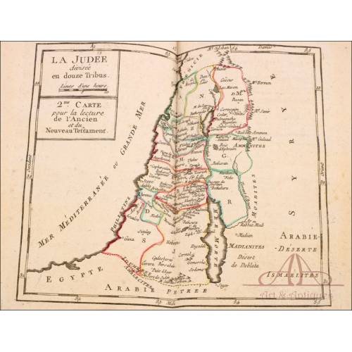
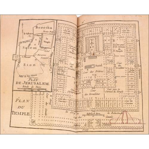
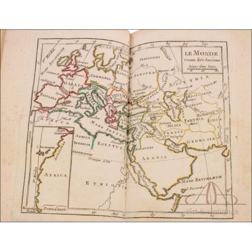
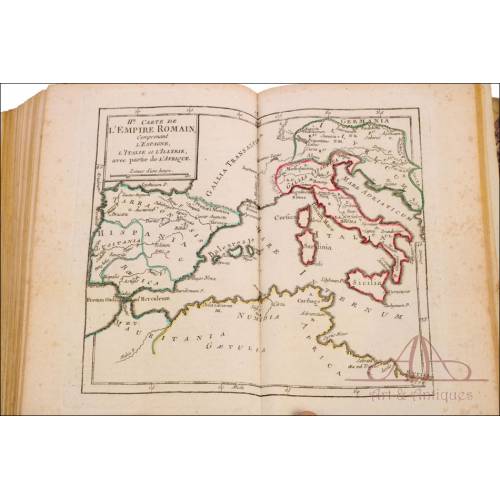
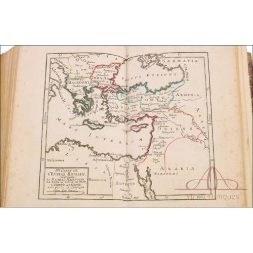
Fascinating atlas of ancient and modern geography for French royal military schools officers, published in 1777. This small book, full of charm and more than two hundred years old, has survived to our days in very good condition, preserving all its etchings. It is full of elemental contents and information about worldwide geography, with 20 maps printed in black ink, with original colors and double-page maps. The maps depict continents, countries and cities all over the world in a simple and schematic way. We can also see the most relevant geographic features: rivers, gulfs, mountains The frontiers are painted in blue, pink, yellow, green, red and orange colors. These colors mark the lines between countries, and also between different territories in a particular country (for example, Spain). The map of the United States of America is especially remarkable; in the 18th century the territories of North America were not defined yet so they are labelled New Discoveries. Curiously enough, the book includes a double-page plan of the Temple of Jerusalem. The cover of the book is adorned with a marbled-papr lining and the leather spine bears the engraved word ATLAS in golden lettering. Every lover of antique maps and old-time books will appreciate the beauty and functionality of this atlas of ancient and modern geography for French royal military schools officers. It is surely a real collectors item. Dimensions: Width: 5.51 in / 14 cm. Height: 7.32 in / 18.6 cm.
30 other products in the same category:
-

The Wonders of Science, Louis...
-
Graphic Work of 'La Vanguardia'.
-
Book of Experimental Physics,...
-
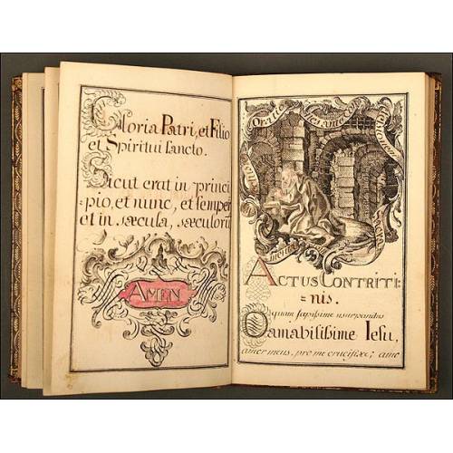
Religious Manuscript Book...
-
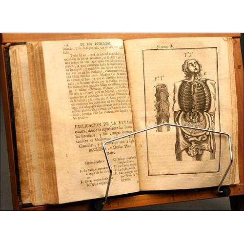
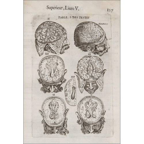
Complete Anatomy of Man, by...
-
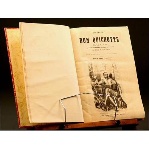
Don Quixote, French Version,...
-
Histoire de la Revolution...
-
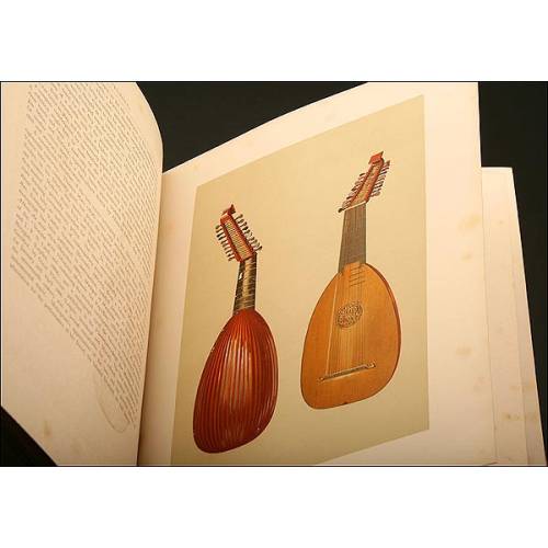
Book Instruments Music,1888
-
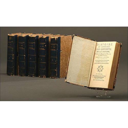
Don Quixote, French Version,...
-
Book of Pharmacy, 1703
-
Very antique German book...
-
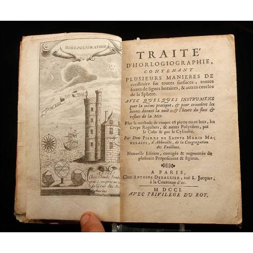
Antique Treatise on the...
-
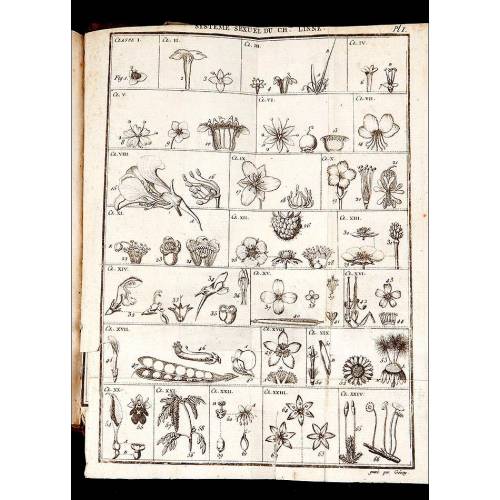
Botany, 1795. "Manuel de...
-
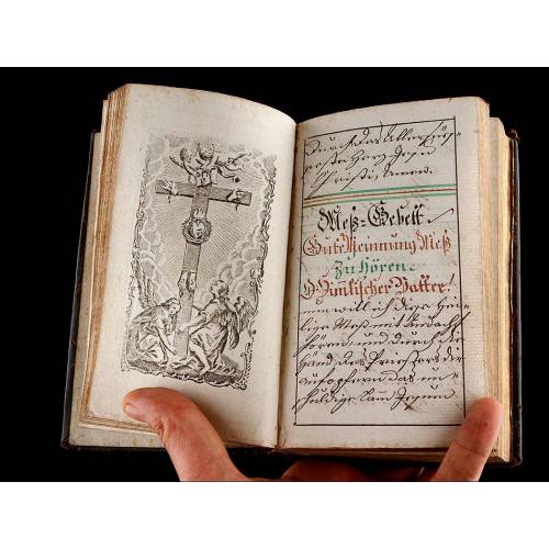
Religious Manuscript, XVIII...
-
Architecture Book, 18th Century
-
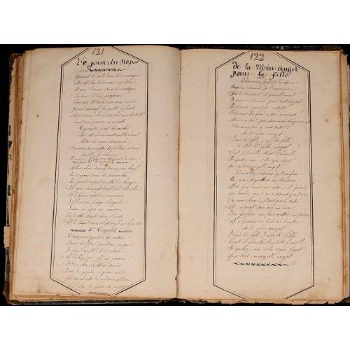
Manuscript Military Songbook....
-
Religious Book, 1804
-
Surgery, 1649, "Les Oeuvres...
-
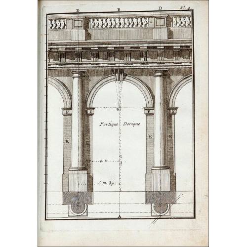
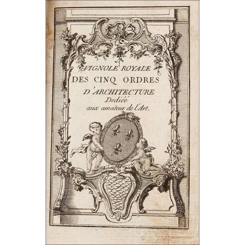
Treatise on Architecture, 1776
-
Lot of 9 antique books on...
-
Fantastic Lot of 8 Antique...
-

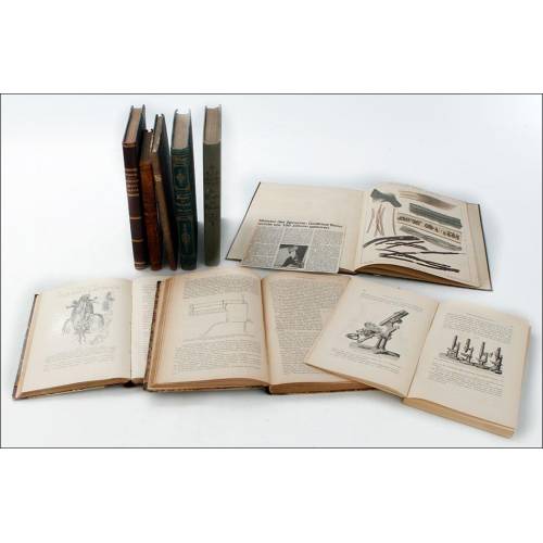
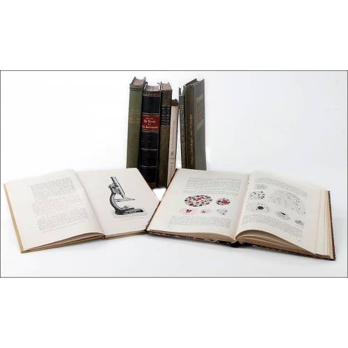
Lot of 9 Antique Books on...
-
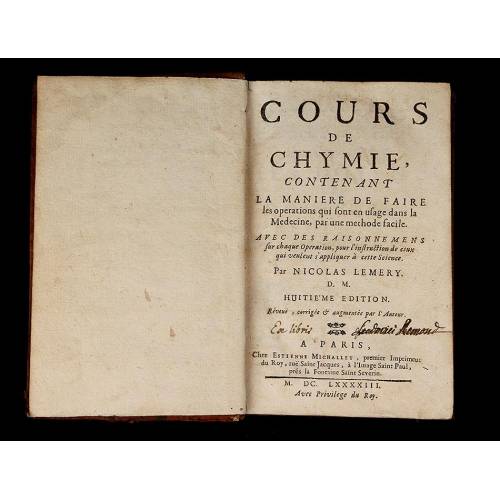
Chemistry, 1693. "Cours de...
-
Extraordinary Bound...
-
The Abbreviated Atlas....
-
Itineraries of Catalonia -...
-
Lot of 8 Antique Books on...
-
Gardening, 1739. France....
-
Farm Manual, 1736
-
Manuscript, 1737-1738....