


D-078
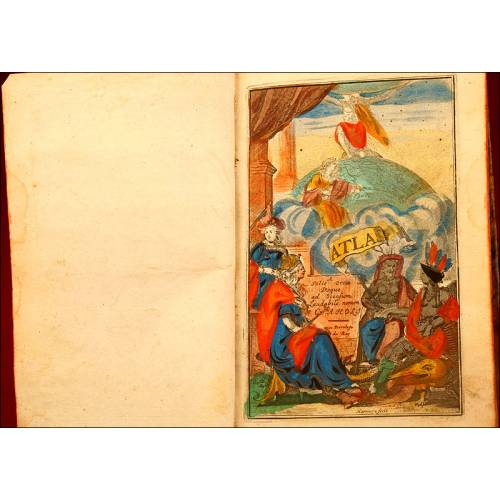
Great Big-Sized Universal Atlas. France, Circa 1820
Amazing big-sized universal atlas with double-page maps. In very good condition. High-quality and detailed etchings.
Sold!
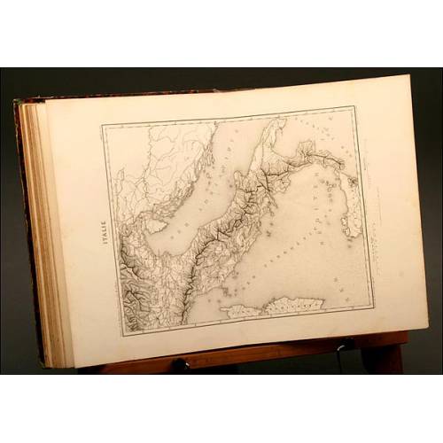
Superb big-sized universal atlas printed in France circa 1820, in very good condition and with double-page maps. This amazing book is full of maps printed in black ink and with original old-time coloring. According to the index, six of the maps are missing: Greece, ancient Italy, Gaul, the Roman Empire and a world map with the two hemispheres. Nevertheless, the rest of them are in excellent condition and boast an outstanding quality. The atlas contains universal maps of all kind: physical, political and historical, both ancient and modern. At the beginning of the book we find a gorgeous double-page etching in full color, depicting a mountain landscape. The following images are black ink maps; some of them include colored territories and borders. Among them, the political USA map does not include the countrys southern territories (California, New Mexico, Arizona, Texas) as in those days they still belonged to Mexico. Some years later, this country would lose the war which took place between 1846 and 1848 and the states were annexed to the USA. The atlass cover is adorned with marbled-paper lining inside and outside. Inside the cover we can see an exlibris with the following inscription: Library of Mr. Perrin de Mount Héron. Moreover, at the second page we can see a handwritten French inscription with the owners name. This wonderful big-sized universal atlas, more than one century old, will stand out in the best collection of antique books for its imposing presence and the quality of its engravings. Dimensions: Width: 13.78 in / 35 cm. Height: 17.72 in / 45 cm.
30 other products in the same category:
-

The Wonders of Science, Louis...
-
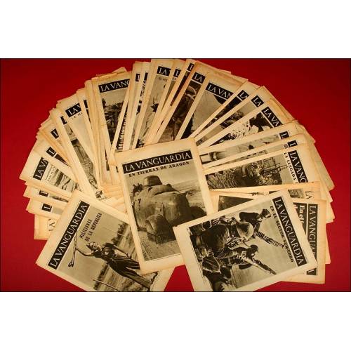
Graphic Work of 'La Vanguardia'.
-
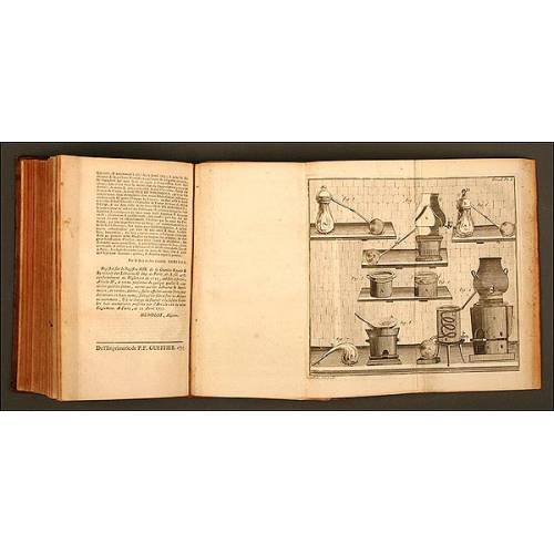
Book of Experimental Physics,...
-
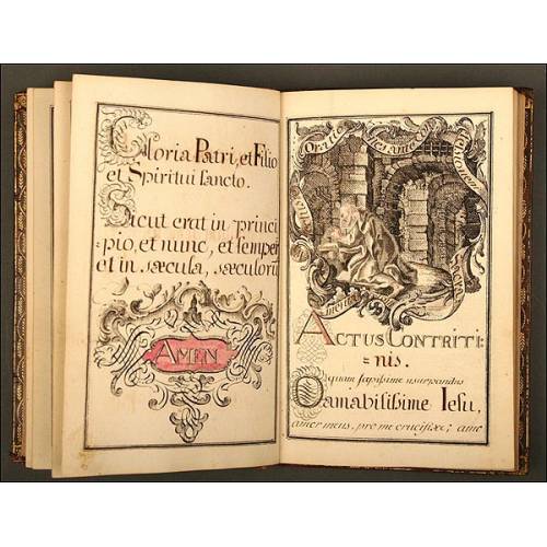
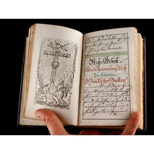
Religious Manuscript Book...
-
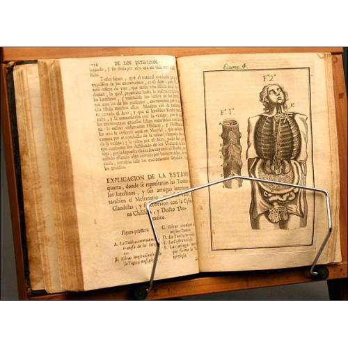
Complete Anatomy of Man, by...
-
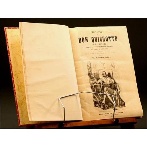
Don Quixote, French Version,...
-
Histoire de la Revolution...
-
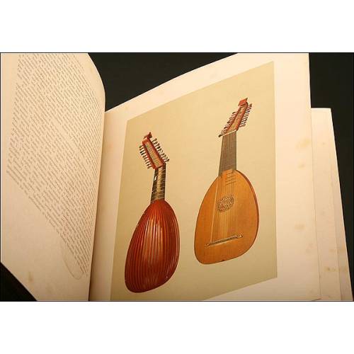
Book Instruments Music,1888
-
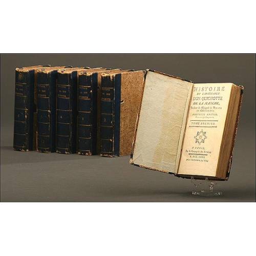
Don Quixote, French Version,...
-
Book of Pharmacy, 1703
-
Very antique German book...
-
Antique Treatise on the...
-
Botany, 1795. "Manuel de...
-
Religious Manuscript, XVIII...
-
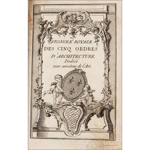
Architecture Book, 18th Century
-
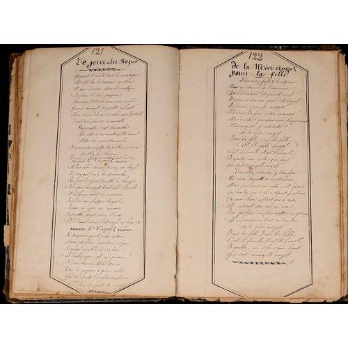
Manuscript Military Songbook....
-
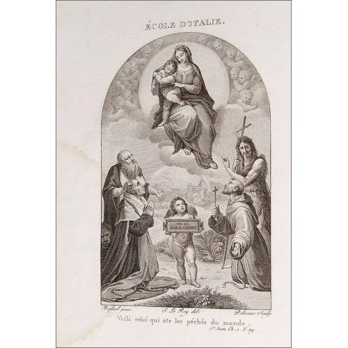
Religious Book, 1804
-
Surgery, 1649, "Les Oeuvres...
-
Treatise on Architecture, 1776
-
Lot of 9 antique books on...
-
Fantastic Lot of 8 Antique...
-

Lot of 9 Antique Books on...
-
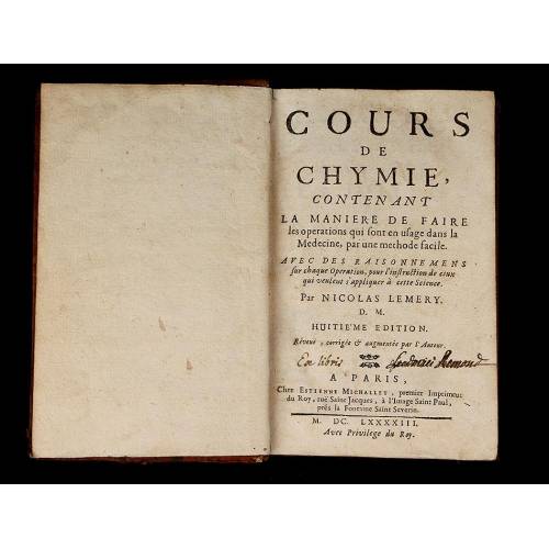
Chemistry, 1693. "Cours de...
-
Extraordinary Bound...
-
The Abbreviated Atlas....
-
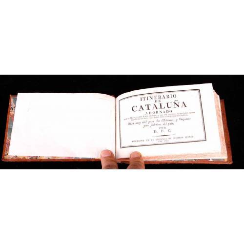
Itineraries of Catalonia -...
-
Lot of 8 Antique Books on...
-
Gardening, 1739. France....
-
Farm Manual, 1736
-
Manuscript, 1737-1738....