


A-771
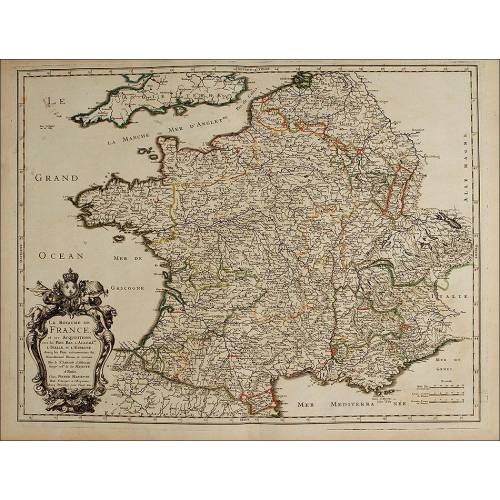
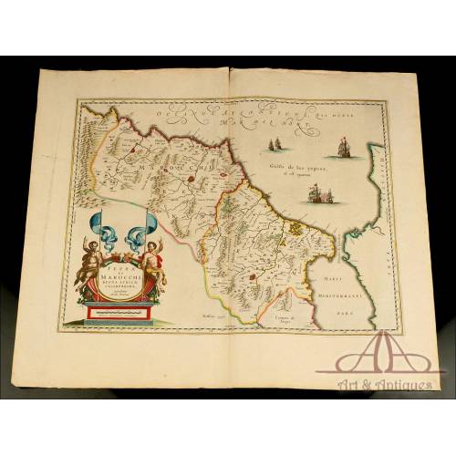
Attractive Antique Map by Cartographer Nicolas Sanson. France, 1693. Perfect Condition
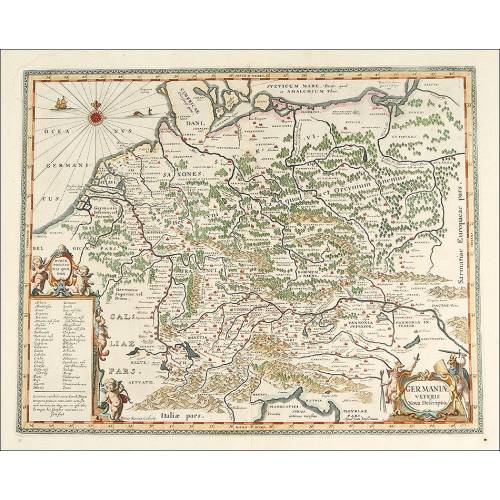
Detailed map by cartographer Nicolas Sanson, made in 1693. Lower region of the bishopric of Münster.
Sold!
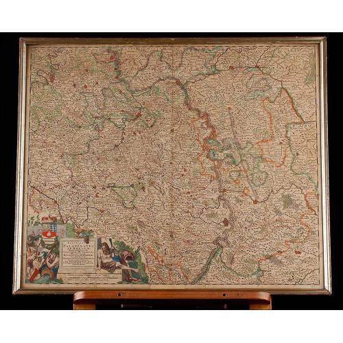
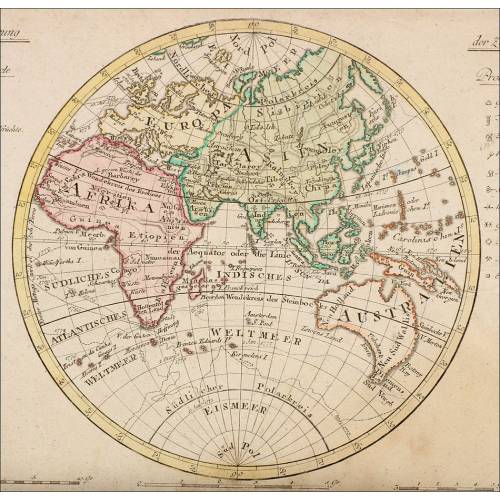
Lovely original map dating from the 17th century and made by the prestigious cartographer and historian Nicolas Sanson in 1693. In those times Sanson was working for the French Crown, more precisely for Luis XIII; this map dates from that era. The engraving is in very good condition and preserved the original coloring. It depicts the Bishopric of Munster, a German city belonging to North Rhineland-Westphalia, and also the County of Benthem. This is a wonderful work of art with bright shiny colors and a great decorative power. Nicolas Sanson (1600-1667) gave lessons in geography both to Louis XIII and Louis XIV, and later worked as a secretary of state for the first of these kings. His career as a cartographer started in 1627 when he issued his first relevant map, Postes de France. Sanson worked with famous publishers of prints of those times such as Melchior Tavernier, H. Iallot (who would publish the map that we can see in these images) and Pierre Mariette. Sanson would become an associate with Mariette. When he died, his two sons also became cartographers for the French Kingdom. Nicolas Sanson (1600-1667) fue profesor de geografía de los reyes Luis XIII y Luis XIV, trabajando posteriormente como ministro de estado para el primero de los monarcas. Su trayectoria como cartógrafo comenzó en el año 1627, cuando publicó su primer mapa importante: Postes de France. Sanson trabajó con famosos editores de grabados de la época, entre los que se encuentran Melchior Tavernier, H. Iallot (que publicaría el mapa que vemos en las imágenes) y Pierre Mariette, con quien posteriormente se asociaría. A su muerte, sus hijos continuaron su labor como cartógrafos al servicio de la Corona Francesa. The map is a work by Nicolas Sanson (1600-1667), a famous French cartographer and historian that gave lessons in geography both to Louis XIII and to Louis XIV. Louis XIII made Sanson a councillor of state as they had a great relationship. Nicolas Sanson started his career in 1627, when he issued his first relevant map, Postes de France, published by Melchior Tavernier. Later he would become the associate of Pierre Mariette, a publisher of prints, for his subsequent works. The names of Sanson and Mariette can be seen in the bottom left cartouche of this particular map. The map is framed by a bright border in a lively yellow color. On the left bottom corner we can see the scales and also a nice cartouche containing the name of the depicted land (BASSE PARTE DE LE EVESCHÉ DE MUNSTER ET LE COMTÉ DE BENTHEM), the names of the cartographer and the publisher, the city (Paris) and the date of issue: 1693. This information is enclosed into a nice shield composed of volutes in different shades of blue, crowned by a bowl with fruit and leaves. The cartouche and also the shield containing the scales draw our attention because of their lively coloring. Any lover of antique maps will find a unique piece in this engraving by N. Sanson, an original 18th century work in excellent condition. Measurements: Paper: Width: 33.31 in/77 cm. Height: 22.5 in/52 cm. Engraving: Width: 22.5 in/53.3 cm. Height: 17 in /43.3 cm.
26 other products in the same category:
-
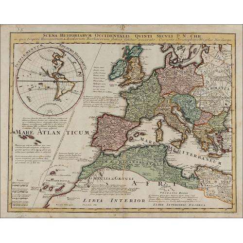
Important Antique Otto Herkt...
-
Beautifully Preserved Antique...
-
Antique Map of 1720 by C....
-
Beautiful Map, Original 1665,...
-
Beautiful Map of the Spanish...
-
Magnificent Antique Engraving...
-
Detailed Map of Southern...
-
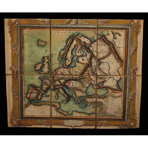
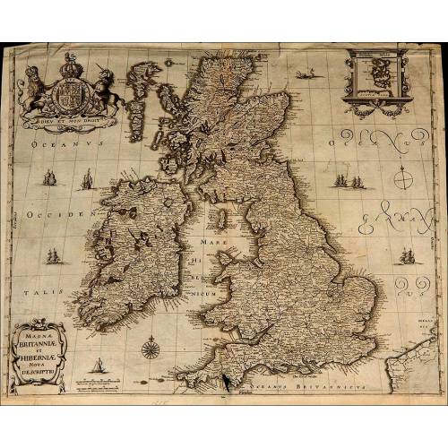
Antique Folding Map of Europe...
-
Nicolas Visscher's Atlas of...
-
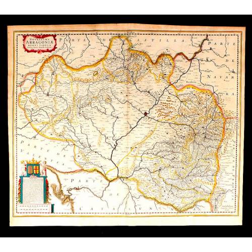
Antique Map of Aragon, 1638
-
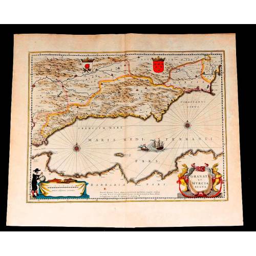
Map of Granada and Murcia...
-
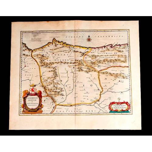
Map of Leon and Asturias....
-
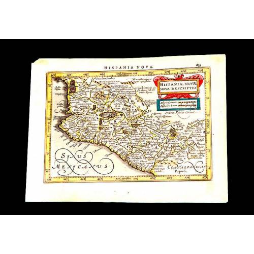
Antique Map of Mexico, 1628.
-
Magnificent Map of the...
-
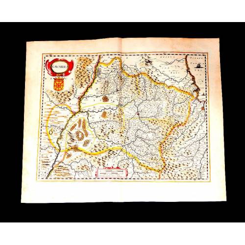
Map of Navarra Antique. 1638
-
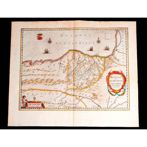
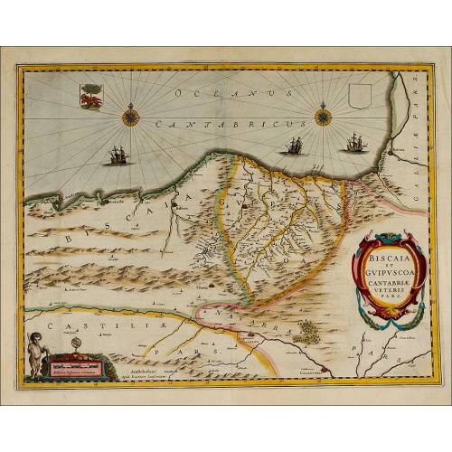
Antique Map of Vizcaya and...
-
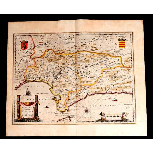
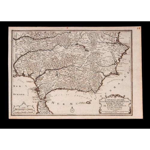
Antique Map of Andalusia, 1638.
-
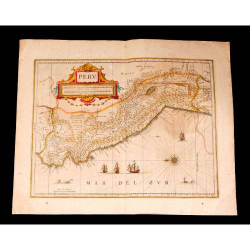
Antique Map of Peru, 1638.
-
Antique Map of Brazilian...
-
Magnificent Antique Map of...
-
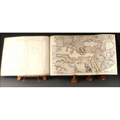
Antique Atlas with 19 Maps by...
-
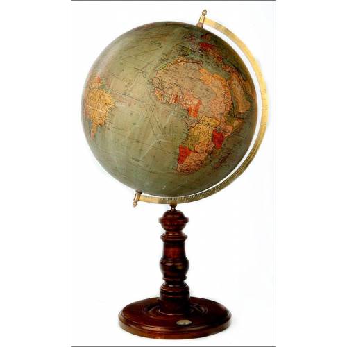
Antique Columbus Globe. Made...
-
Antique Columbus Earth Globe....
-
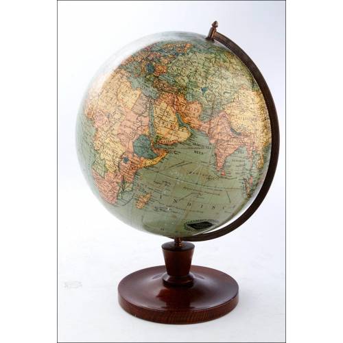
Antique Columbus Worl...
-
Antique Adolf Mang World...
-
Antique Map of the Reign of...