


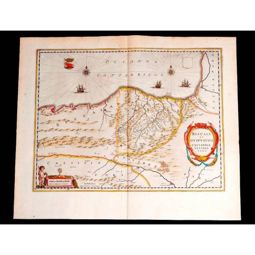
A-782
Beautiful Map of the Spanish Cantabrian Coast. Circa 1650, Original Colored
Very beautiful map of the Spanish Cantabrian Coast with original coloring. Circa 1650, in good condition.
Sold!
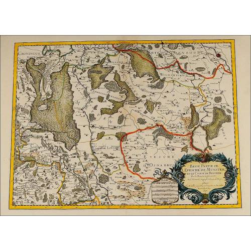
Amazing map depicting the West side of the Spanish Cantabrian Coast, and also part of Castile and France. This is an original colored engraving from circa 1650, published by the Dutch cartographer and editor Johannes Janssonius. The engraving is really beautiful and is also in good condition. It depicts part of the Spanish land with a finely outlined design in black ink and different colors and shades. The colors are original and keep all their brightness, in spite of being hundreds of years old. The map shows the North Spanish coast from the French boundary and the Manor of Biscay that would comprise this province and the region of Cantabria. We can also see Guipuzcoa, Navarra and part of the Crown of Castile. The Cantabrian Sea is finely colored with a nice light blue shade, decorated with two beautiful compass roses whose rays intercross. Between them we can read the inscription OCEANUS CANTABRICUS flanked by two coats of arms, one of them empty. Sailing through the sea we can see three elegant caravels. The publishers signature, Apud Ioannem Ianssonium, can be seen at the bottom margin. This Dutch cartographer and publisher became noted for his atlas, where engravings of the best illustrators were published. At the left bottom corner we can see a nice colorful shield containing the inscription BISCAIA ET GUIPUSCOA CANTABRIAE VETERIS PARS. In the opposite corner there is a colored scale and a naked child who is pointing at it with a compass and holding a big ruler with his other hand. The scale is crowned by two elegant symmetrical volutes and a globe. The map is colored with bright shades of red, green, yellow, blue, pink and ochre, and is framed by a nice yellow fringe. At the back of the engraving we can read a description of Biscay and Guipuzcoa in German, a detail that tells us that this map once belonged to one of the famous Atlas compiled by Johannes Janssonius in the middle of the 17th century. This maps ancient age and undeniable beauty turn it into a unique piece, fully original and highly decorative. Measurements: Width: 22.3 in/56.8 cm. Height: 18.5 in/47 cm.
26 other products in the same category:
-
Important Antique Otto Herkt...
-
Beautifully Preserved Antique...
-
Antique Map of 1720 by C....
-
Beautiful Map, Original 1665,...
-
Magnificent Antique Engraving...
-
Detailed Map of Southern...
-
Antique Folding Map of Europe...
-
Nicolas Visscher's Atlas of...
-
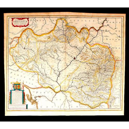
Antique Map of Aragon, 1638
-
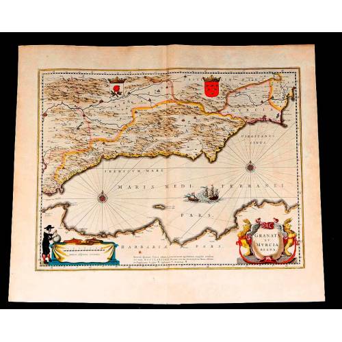
Map of Granada and Murcia...
-
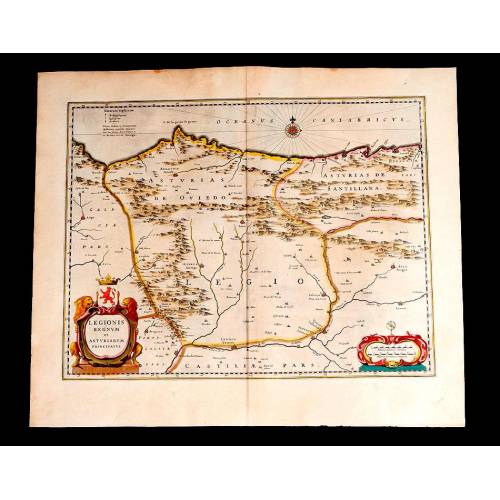
Map of Leon and Asturias....
-
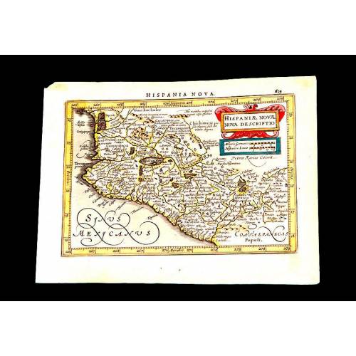
Antique Map of Mexico, 1628.
-
Magnificent Map of the...
-
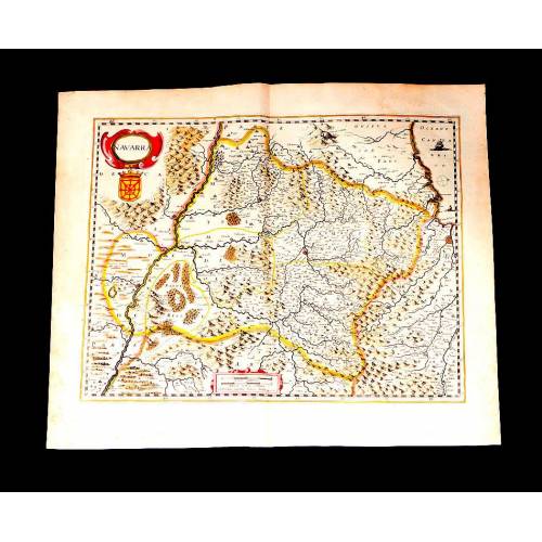
Map of Navarra Antique. 1638
-
Antique Map of Vizcaya and...
-
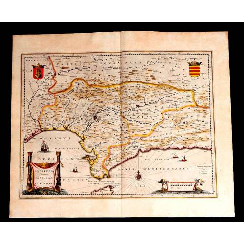
Antique Map of Andalusia, 1638.
-
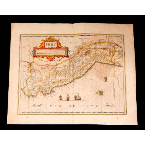
Antique Map of Peru, 1638.
-
Antique Map of Brazilian...
-
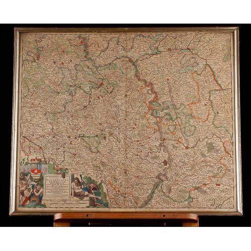
Magnificent Antique Map of...
-
Antique Atlas with 19 Maps by...
-
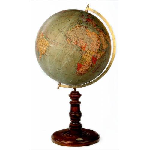
Antique Columbus Globe. Made...
-
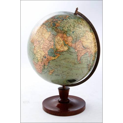
Antique Columbus Earth Globe....
-
Antique Columbus Worl...
-
Antique Adolf Mang World...
-
Antique Map of the Reign of...
-
Attractive Antique Map by...