


A-754
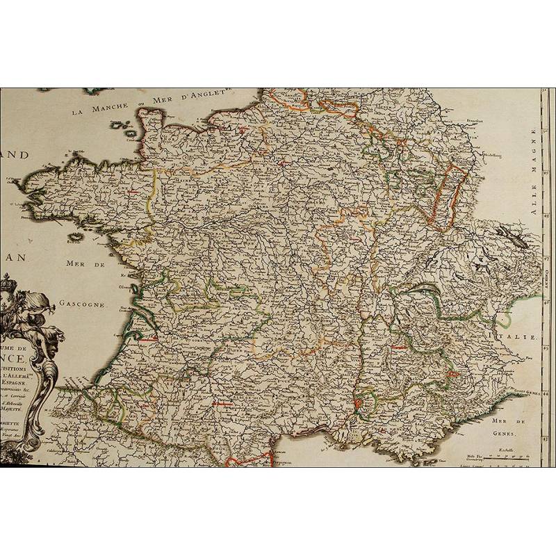
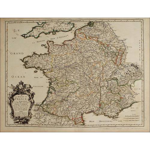
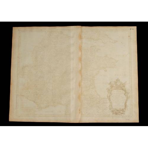
Beautiful Map, Original 1665, of France. Nicolas Sanson. Very Well Preserved
Fantastic map of France mapped by Nicolas Sanson in 1665. Original coloring and good condition.
Sold!
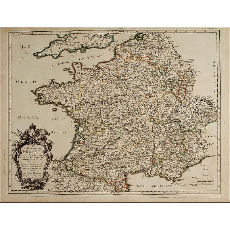
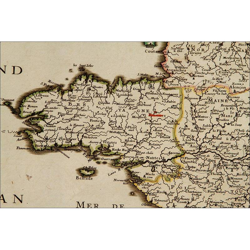
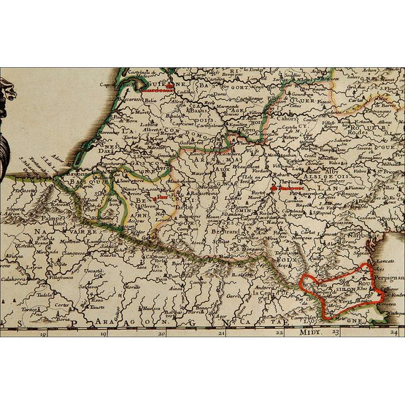
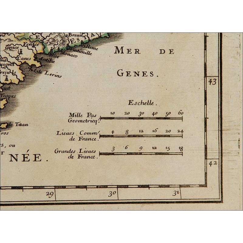
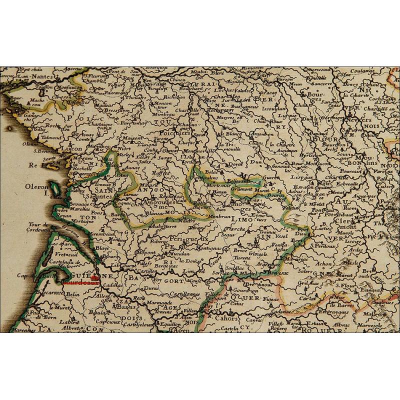
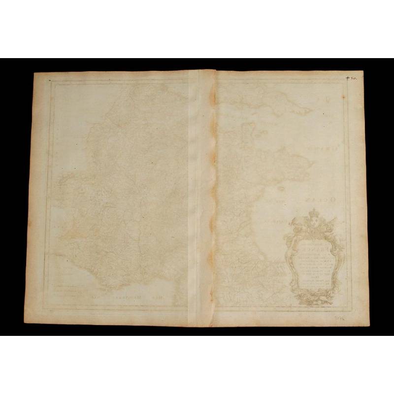
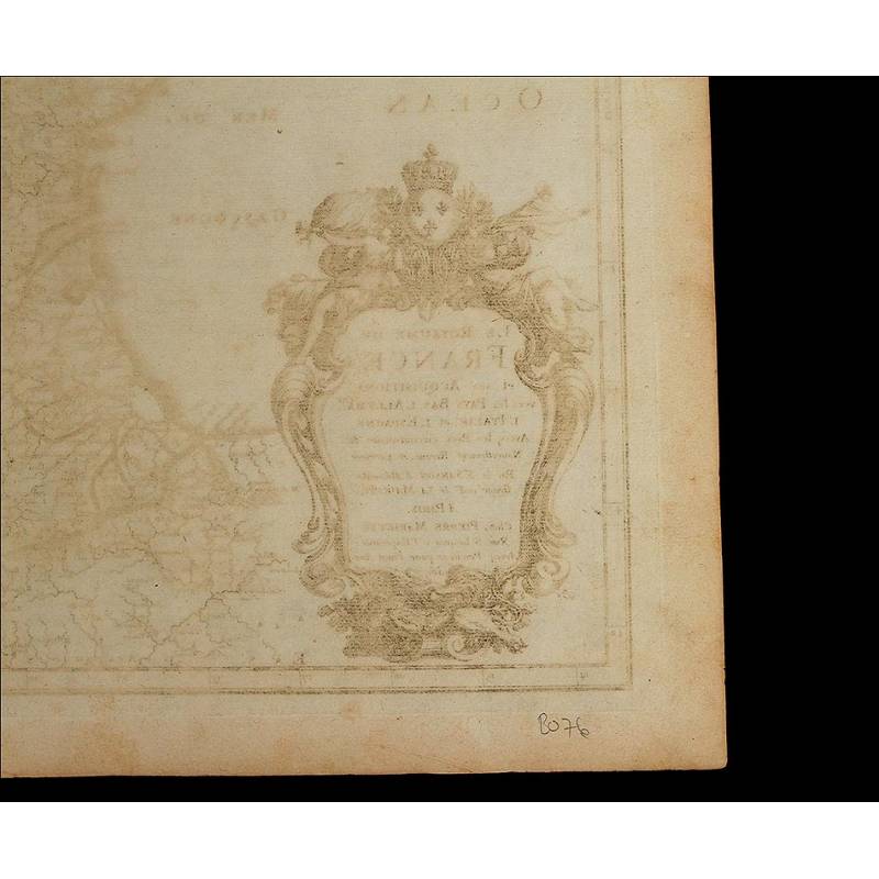
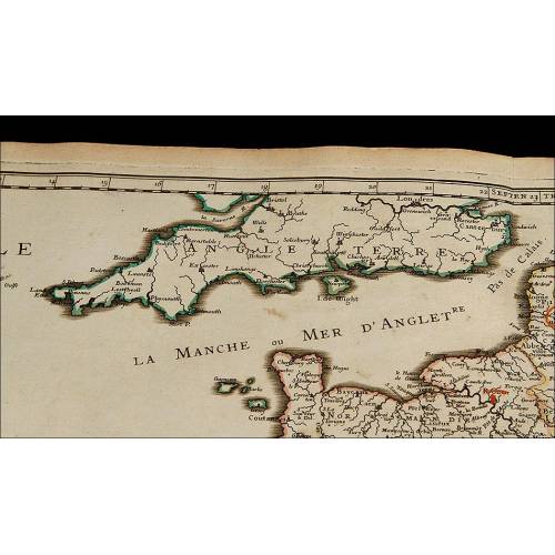
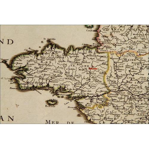
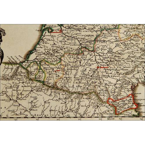
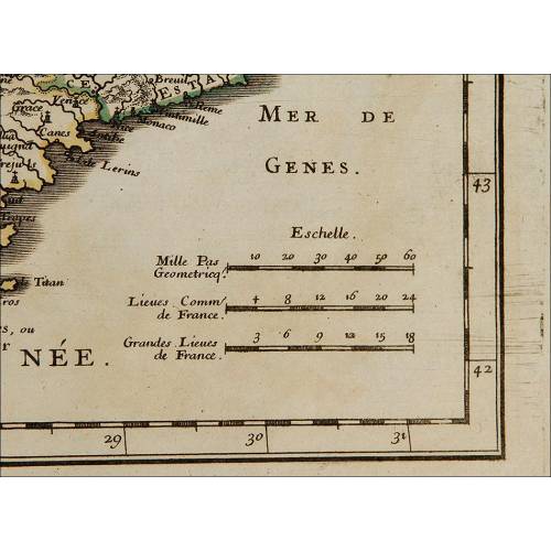
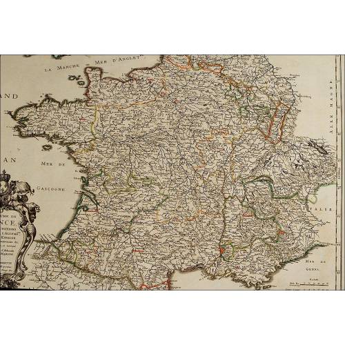
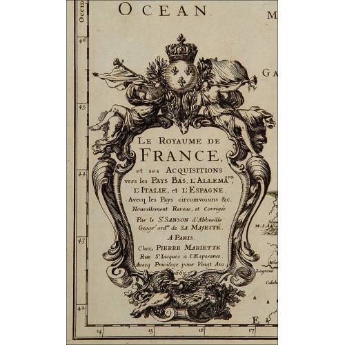
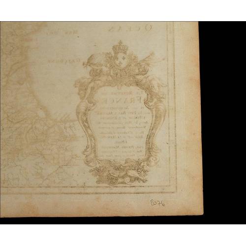
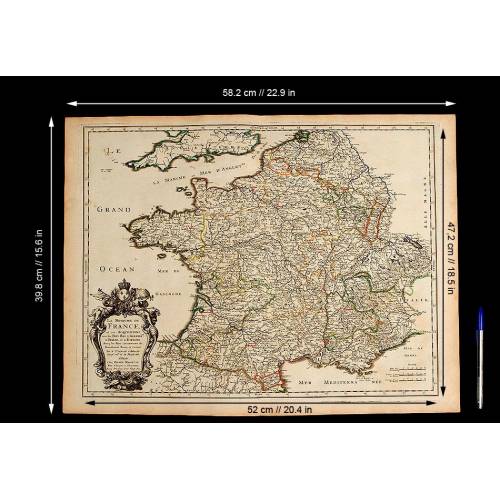
Striking map of France dating from the 18th century, made by the prestigious cartographer Nicolas Sanson in 1665. The map is in excellent condition and is an original work from those times. The coloring is also original and boasts subtle and nice shades used to separate the different regions. The map depicts the French territory as it was conceived in the 18th century, including acquisitions in Spain, Germany and Italy, and also part of the neighboring countries. All the inscriptions and names of cities, villages and seas are written in French. The map is a work by Nicolas Sanson (1600-1667), a famous French cartographer and historian that gave lessons in geography both to Louis XIII and Louis XIV. Louis XIII made Sanson a secretary of state as they had a great relationship. Nicolas Sanson started his career in 1627, when he issued his first relevant map, Postes de France, published by Melchior Tavernier. Later he would become the associate of Pierre Mariette, a publisher of prints, for his subsequent works. The names of Sanson and Mariette can be seen in the bottom left cartouche of this particular map. The mentioned cartouche also contains a description of what we can see in the engraving, accompanied by the date of publication: 1665. This cartouche is a very decorative detail, with the description inserted into a lovely baroque-style shield, decorated with the royal crown and two reclined figures, dressed in the classic Roman style and playing trumpets. On the left bottom corner of the map we can see the reference scales. This impressive ancient map is a high-quality work by a prestigious cartographer, worthy of the best collector. Measurements: Paper: Width: 22.9 in/58.2 cm. Height: 15.6 in/39.8 cm. Engraving: Width: 20.4 in/52 cm. Height: 18.5 in/47.2 cm.
26 other products in the same category:
-
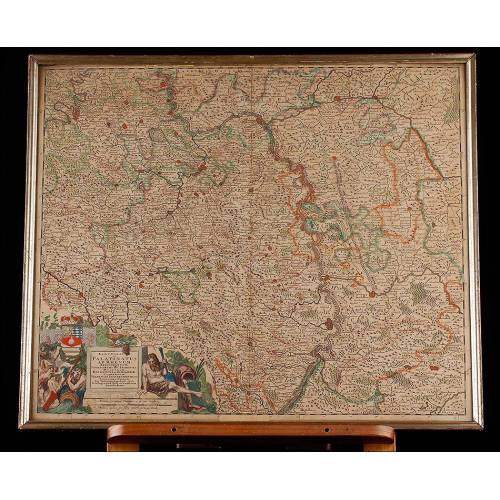
Important Antique Otto Herkt...
-
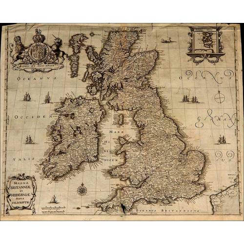
Beautifully Preserved Antique...
-
Antique Map of 1720 by C....
-
Beautiful Map of the Spanish...
-
Magnificent Antique Engraving...
-
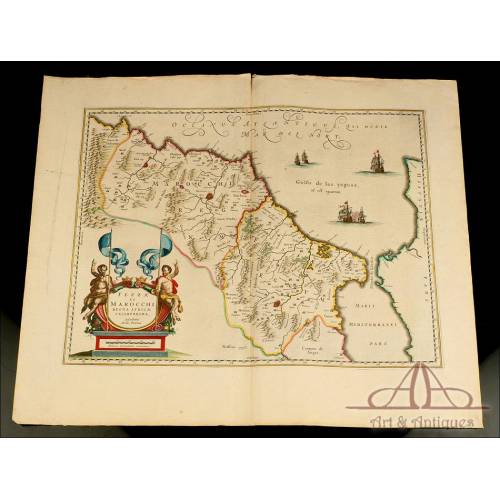
Detailed Map of Southern...
-
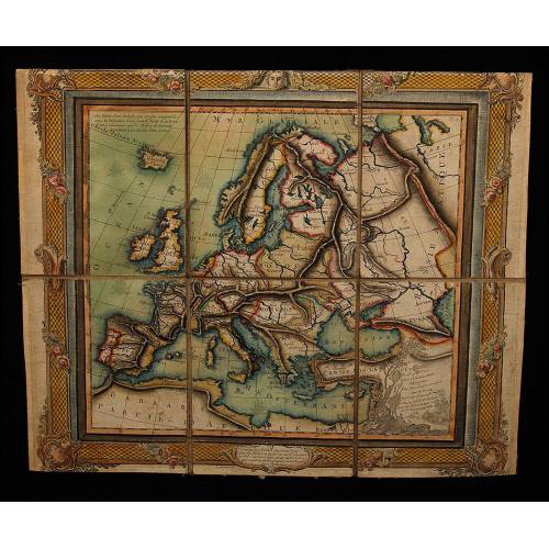
Antique Folding Map of Europe...
-
Nicolas Visscher's Atlas of...
-
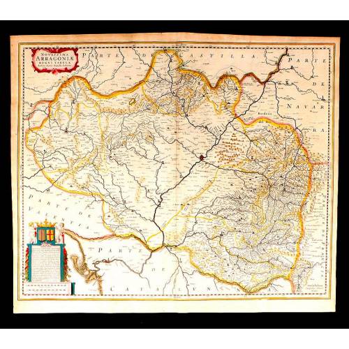
Antique Map of Aragon, 1638
-
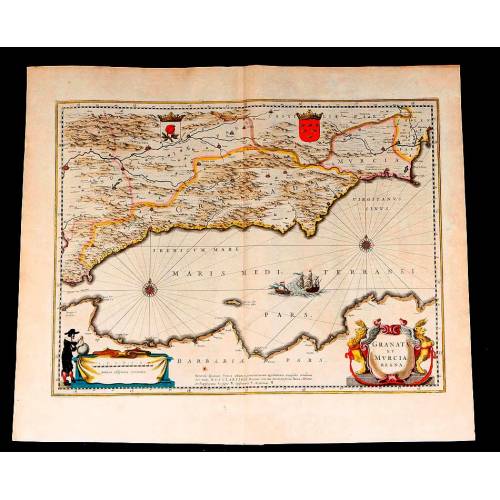
Map of Granada and Murcia...
-
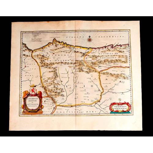
Map of Leon and Asturias....
-
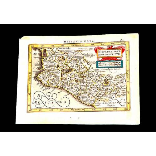
Antique Map of Mexico, 1628.
-
Magnificent Map of the...
-
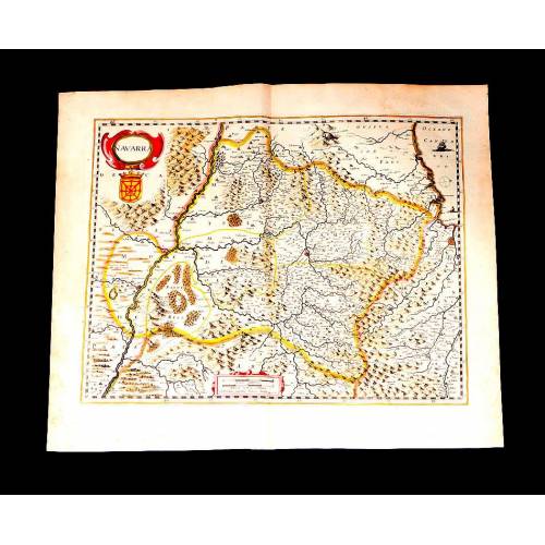
Map of Navarra Antique. 1638
-
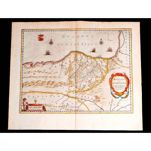
Antique Map of Vizcaya and...
-
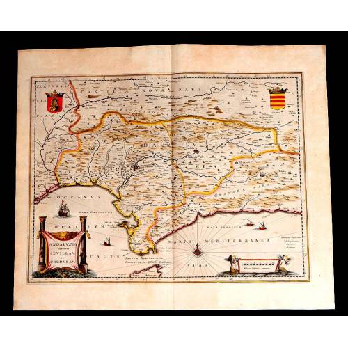
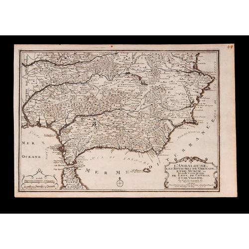
Antique Map of Andalusia, 1638.
-
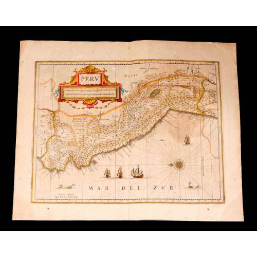
Antique Map of Peru, 1638.
-
Antique Map of Brazilian...
-
Magnificent Antique Map of...
-
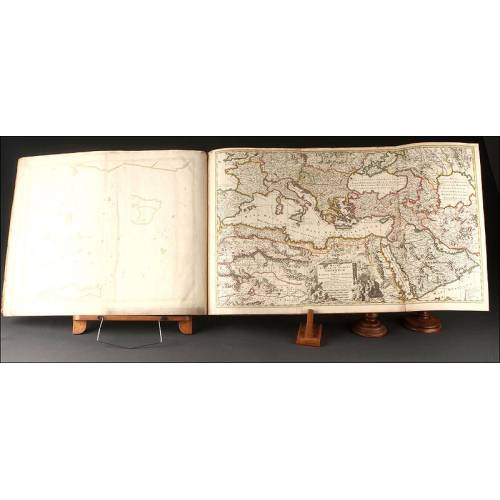
Antique Atlas with 19 Maps by...
-
Antique Columbus Globe. Made...
-
Antique Columbus Earth Globe....
-
Antique Columbus Worl...
-
Antique Adolf Mang World...
-
Antique Map of the Reign of...
-
Attractive Antique Map by...