


C-027
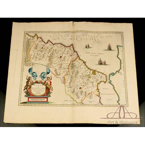
Map of Leon and Asturias. Antique, 1638.
Antique map of the Kingdom of León and the Principality of Asturias from 1638. Published by Janssonius-Hondius.
Sold!
Gorgeous antique map of the Kingdom of Leon and the Principality of Asturias, beautifully engraved and originally colored by hand. The map is more than 350 years old: it was published in 1638 by the Dutch engraver Jan Janssonius as a part of the Atlas Novus developed by him and his brother-in-law, Henricus Hodius. The map shows the mentioned Spanish territories printed in black ink, finely framed and with their corresponding cartouches and scales. In the central part, at the top we can see the Asturias of Oviedo and the Asturias of Santillana, this last territory corresponding to the land currently known as Cantabria. Under this land we can see the Kingdom of Leon, connected to the Principality of Asturias and marked as LEGIO. The map includes some sepia-colored rivers and mountain ranges; the coast and the borders are painted in yellow, pink and sepia-toned watercolor too. At the top there is a lovely blue and red wind rose; to the left we can see an inscription with the explanation of the maps symbols in latin (Notarum Explicatio). Moreover, at the bottom there are two great cartouches painted in the same colors and containing the names of the depicted places (LEGIONIS REGNUM ET ASTURIARUM PRINCIPATUS) and the scales. At the back of the map there is a complete description of the territory in Latin. As beautiful as well preserved, this antique map of the Kingdom of Leon and the Principality of Asturias deserves a honor place in the wall of a great collector. Measurements: Paper: Width: 22.4 in / 57 cm. Alto: 18.8 in / 48 cm. Engraving: Width: 19.2 in / 49 cm. Height: 14.9 in / 38 cm.Jan Janssonius History Jan Janssonius (Johannes Janssonius, 1588-1664) was a Dutch cartographer and published, famous for his contribution to the Hondius Atlas. The relationship between Janssonius and Hondius started in 1612, when the first married Jodocus Hondiuss daughter, Elisabeth de Hondt. Janssonius was the son of a Dutch published and bookseller. He produced his first maps of France and Italy in 1616. In 1623 he owned a bookstore in Frankfurt am Main and later he opened other shops in different European cities. In 1630 Janssonius teamed up with his brother in law, Henricus Hondius, and they started publishing the famous Mercator/Hondius/Janssonius atlases. Under the Atlas Novus name, in 1638 the work was composed of three volumes; in 1646, a volume with English County Maps came out. In 1660 the work changed its name for Atlas Major it already consisted of eleven volumes with the work of about a hundred credited authors and engravers. It included a town atlas, an Atlas Maritimus and the Atlas of Heavens by Andreas Cellarius. After Janssoniuss death, the publishing company was continued by his son-in-law, Johannes van Waesberg.
26 other products in the same category:
-
Important Antique Otto Herkt...
-
Beautifully Preserved Antique...
-
Antique Map of 1720 by C....
-
Beautiful Map, Original 1665,...
-
Beautiful Map of the Spanish...
-
Magnificent Antique Engraving...
-
Detailed Map of Southern...
-
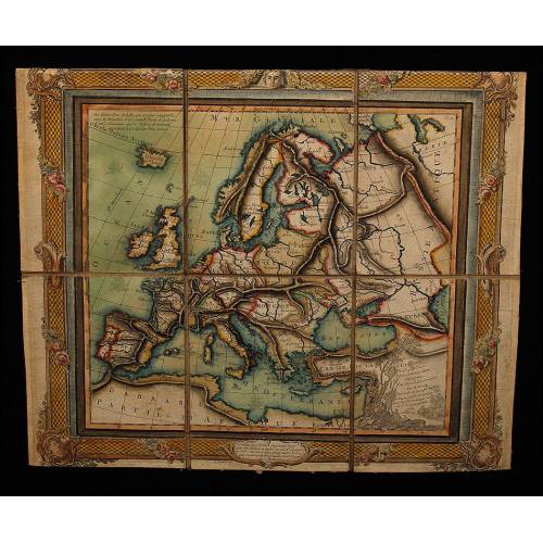
Antique Folding Map of Europe...
-
Nicolas Visscher's Atlas of...
-
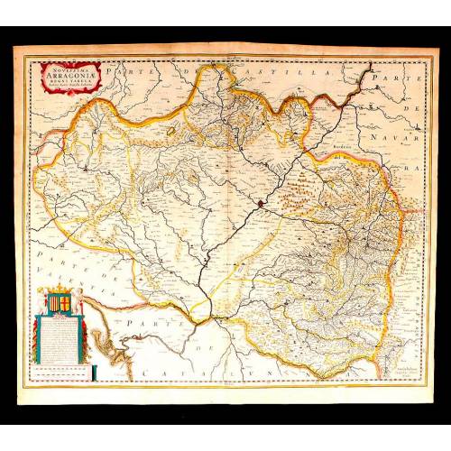
Antique Map of Aragon, 1638
-
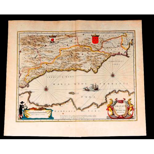
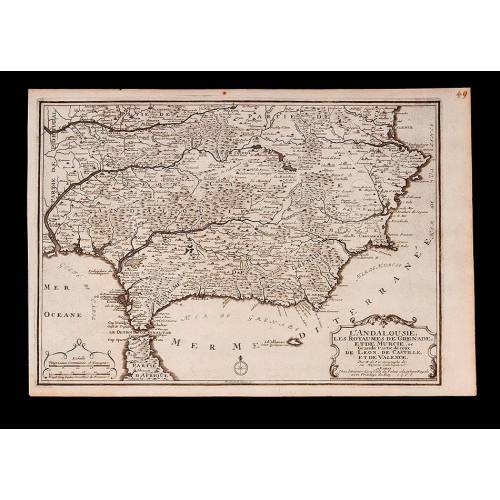
Map of Granada and Murcia...
-
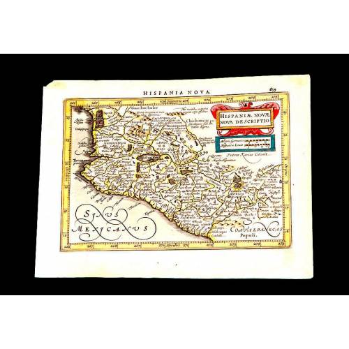
Antique Map of Mexico, 1628.
-
Magnificent Map of the...
-
Map of Navarra Antique. 1638
-
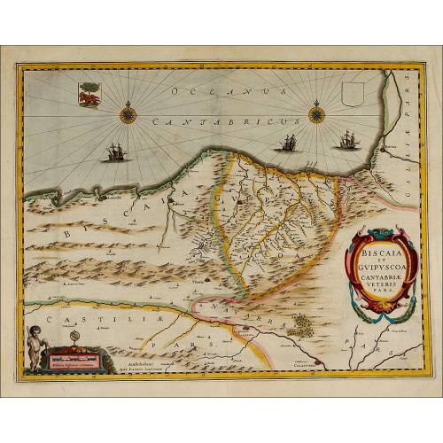
Antique Map of Vizcaya and...
-
Antique Map of Andalusia, 1638.
-
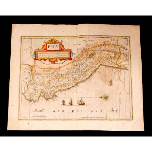
Antique Map of Peru, 1638.
-
Antique Map of Brazilian...
-
Magnificent Antique Map of...
-
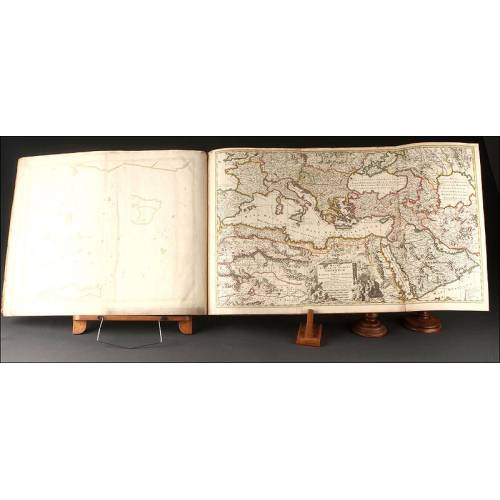
Antique Atlas with 19 Maps by...
-
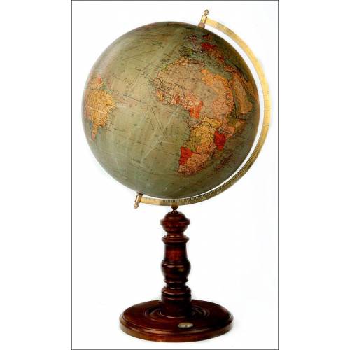
Antique Columbus Globe. Made...
-
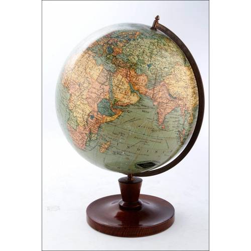
Antique Columbus Earth Globe....
-
Antique Columbus Worl...
-
Antique Adolf Mang World...
-
Antique Map of the Reign of...
-
Attractive Antique Map by...