


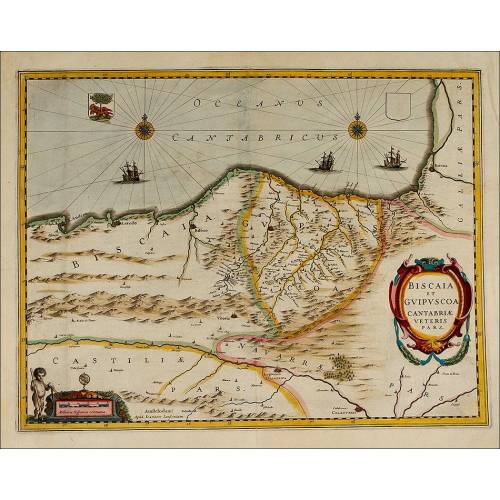
C-026
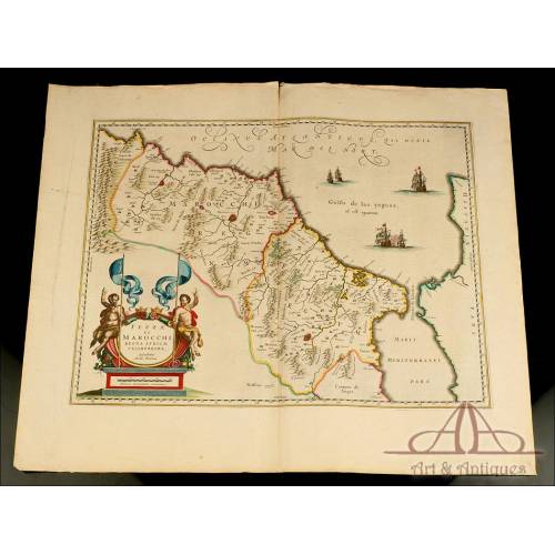
Antique Map of Vizcaya and Guipuzcoa, 1638.
Magnificent antique map of Biscay and Guipuzcoa published by Janssonius-Hondius. Hand colored.
Sold!
Antique map of the Spanish provinces Biscay and Guipuzcoa, engraved and published in the Netherlands in 1638. The map is a work by the renowned cartographer and publisher Jan Janssonius and is part of the Atlas Novus that the Dutch publisher developed together with Henricus Hondius. The map is in great condition in spite of being almost 400 years old. It shows no torn or stained parts and preserves the original hand-colored parts. The map depicts part of the ancient Basque Country with the provinces of Biscay and Guipuzcoa, and the lands and seas that surround it. It is printed in black ink and includes relevant geographical features and the names of the most important places: Vitoria, San Sebastian, Baiona At the rear side we can see a printed Latin text with a complete description of the territory. The borders and frontiers of both provinces have been painted by hand with delicate pink, yellow and sepia-toned watercolors. The mountain ranges have also been painted brown. In those days the province of Álava (one of the three current provinces of the Basque Country) was then part of the Biscay territory. At the left bottom corner there is a delicate engraving depicting a naked boy who holds a compass and a ruler, and points to the cartouche with the scale. Just by its side we can see the engravers signature, Ioannem Ianßonioum (Jan Janssonius). At the top of the map there are two lovely blue and red wind roses with a red and yellow coat-of-arms and some caravels. On the other hand, at the bottom we can see a fine red, yellow and blue cartouche with the inscription BISCAIA ET GUIPUSCOA CANTABRIA VETERIS PARS. Every cartography lover will find a real treasure in this amazing antique map, colored by hand and in perfect condition. Measurements: Paper: Width: 22.4 in / 57 cm. Height: 18.8 in / 48.5 cm. Engraving: Width: 19.2 in / 49 cm. Height: 14.9 in / 38 cm.Jan Janssonius History Jan Janssonius (Johannes Janssonius, 1588-1664) was a Dutch cartographer and published, famous for his contribution to the Hondius Atlas. The relationship between Janssonius and Hondius started in 1612, when the first married Jodocus Hondiuss daughter, Elisabeth de Hondt. Janssonius was the son of a Dutch published and bookseller. He produced his first maps of France and Italy in 1616. In 1623 he owned a bookstore in Frankfurt am Main and later he opened other shops in different European cities. In 1630 Janssonius teamed up with his brother in law, Henricus Hondius, and they started publishing the famous Mercator/Hondius/Janssonius atlases. Under the Atlas Novus name, in 1638 the work was composed of three volumes; in 1646, a volume with English County Maps came out. In 1660 the work changed its name for Atlas Major it already consisted of eleven volumes with the work of about a hundred credited authors and engravers. It included a town atlas, an Atlas Maritimus and the Atlas of Heavens by Andreas Cellarius. After Janssoniuss death, the publishing company was continued by his son-in-law, Johannes van Waesberg.
Customers who bought this product also bought:
26 other products in the same category:
-
Important Antique Otto Herkt...
-
Beautifully Preserved Antique...
-
Antique Map of 1720 by C....
-
Beautiful Map, Original 1665,...
-
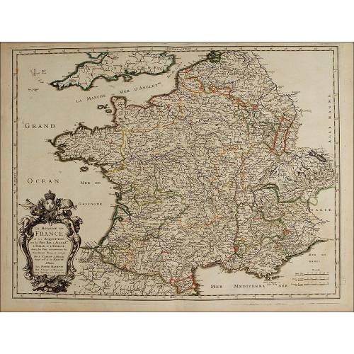
Beautiful Map of the Spanish...
-
Magnificent Antique Engraving...
-
Detailed Map of Southern...
-
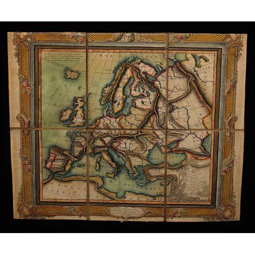
Antique Folding Map of Europe...
-
Nicolas Visscher's Atlas of...
-
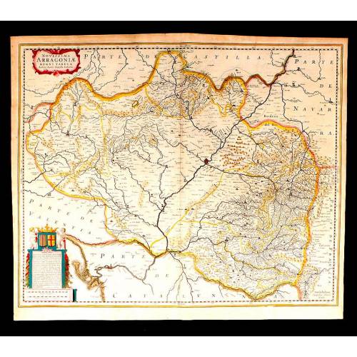
Antique Map of Aragon, 1638
-
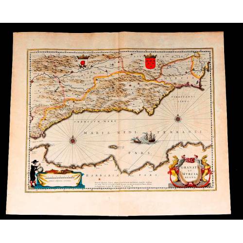
Map of Granada and Murcia...
-
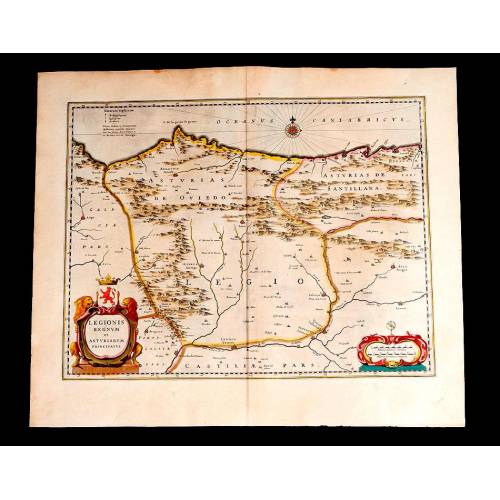
Map of Leon and Asturias....
-
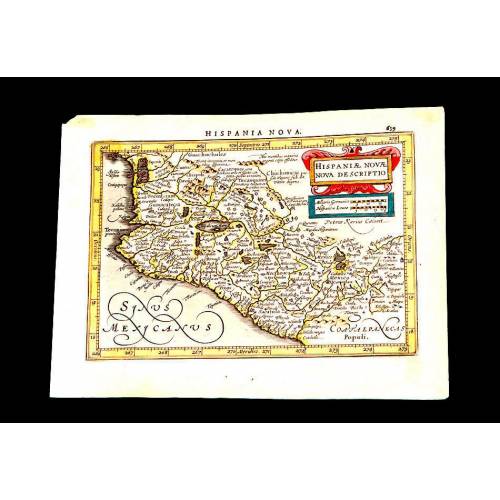
Antique Map of Mexico, 1628.
-
Magnificent Map of the...
-
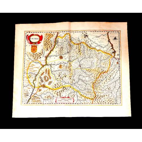
Map of Navarra Antique. 1638
-

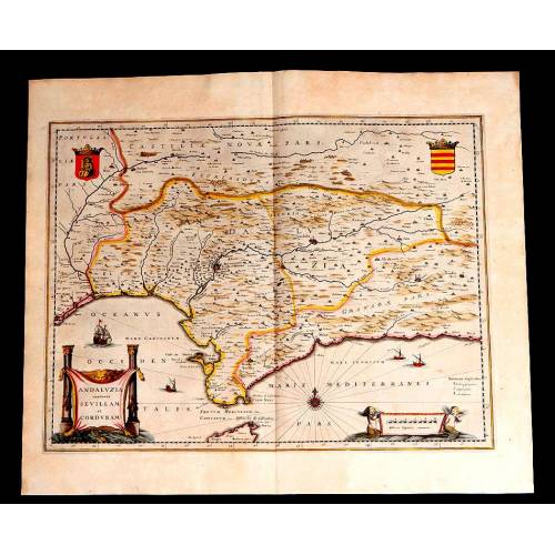
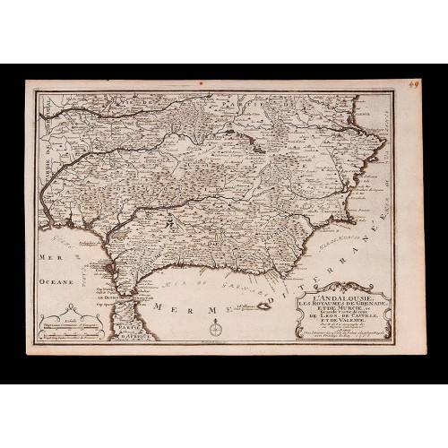
Antique Map of Andalusia, 1638.
-
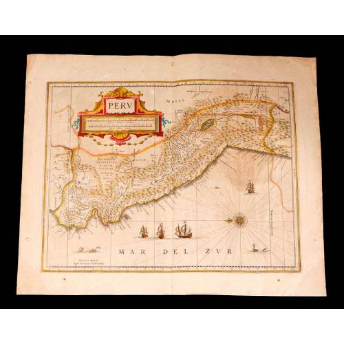
Antique Map of Peru, 1638.
-
Antique Map of Brazilian...
-
Magnificent Antique Map of...
-
Antique Atlas with 19 Maps by...
-
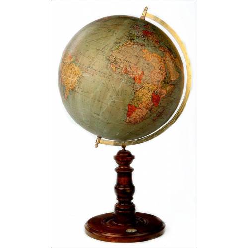
Antique Columbus Globe. Made...
-
Antique Columbus Earth Globe....
-
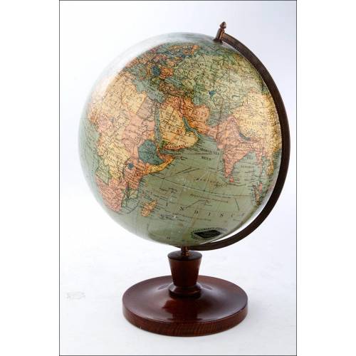
Antique Columbus Worl...
-
Antique Adolf Mang World...
-
Antique Map of the Reign of...
-
Attractive Antique Map by...