


B-380
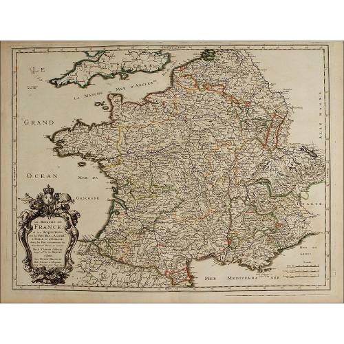
Antique Folding Map of Europe Printed on Cloth. France, 1766
Impressive antique map of Europe, printed on canvas with cardboard backing. Foldable.
Sold!
Awesome antique map of Europe, printed in full color in France in 1766. The map is original from the period and is printed of fabric with a thick cardboard base. The fabric is glued to six rectangular cardboard pieces identical in size this disposition makes it possible to fold the map easily and make it six times smaller. The map is very well preserved and keeps the great attractive of the cartographic pieces from those times. It shows no torn or missing parts, being complete and beautiful in spite of being more than two centuries old. The map is surrounded by a lovely full-color printed frame that depicts a golden classical frame with flowers, moldings and garlands. The European countries are clearly delimited by colored frontiers, and are also identified with their ancient names in French. We can see long-gone dispositions, for example the fact that Greece did not exist as a nation but was part of the Turkish territory. The rivers and lakes are painted in blue and the maps surface is crossed by lines depicting parallels and meridians. The map has three cartouches, written in French in an elegant cursive lettering. At the bottom, in the middle of the frame we can see an inscription containing the name of the establishment that published the map: Chez Defnos, Ingenieur Geogr. Pour les Globes et Spheres, and the year 1764. At the right bottom corner there is another cartouche describing the map and with the name of the geographer engineer that made the map, M. Brion, and the year of making, 1766. Finally, at the right top corner an inscription describes the equivalence between degrees of latitude and leagues. This 18th-century map is a gorgeous and original article that deserves to become part of a great cartography museum. Measurements: Width: 7.2 in / 18.5 cm. Height: 4.7 in / 12 cm.
26 other products in the same category:
-
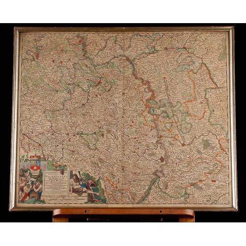
Important Antique Otto Herkt...
-
Beautifully Preserved Antique...
-
Antique Map of 1720 by C....
-
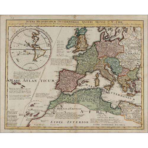
Beautiful Map, Original 1665,...
-
Beautiful Map of the Spanish...
-
Magnificent Antique Engraving...
-
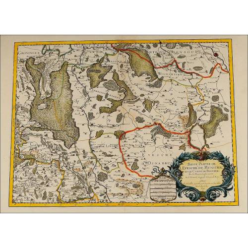
Detailed Map of Southern...
-
Nicolas Visscher's Atlas of...
-
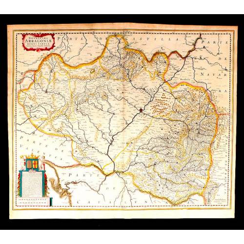
Antique Map of Aragon, 1638
-
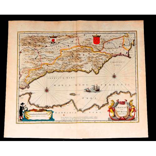
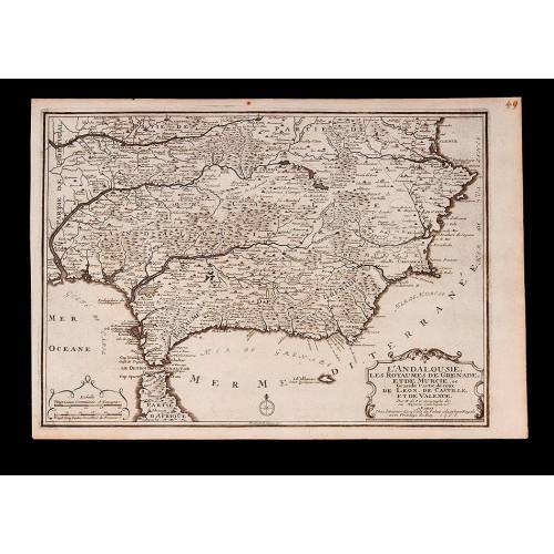
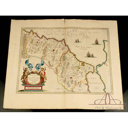
Map of Granada and Murcia...
-
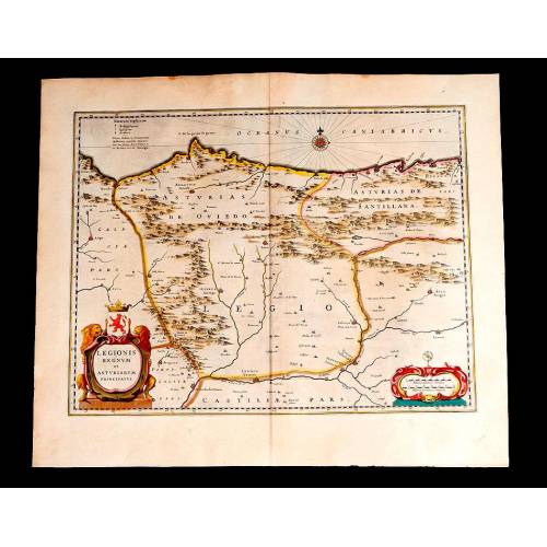
Map of Leon and Asturias....
-
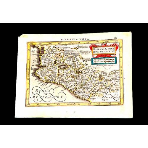
Antique Map of Mexico, 1628.
-
Magnificent Map of the...
-
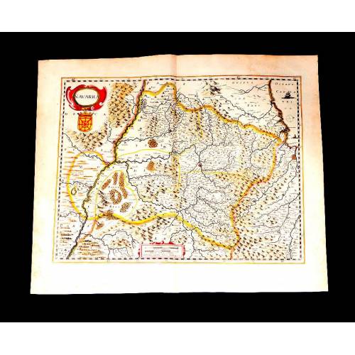
Map of Navarra Antique. 1638
-
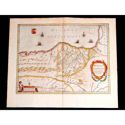
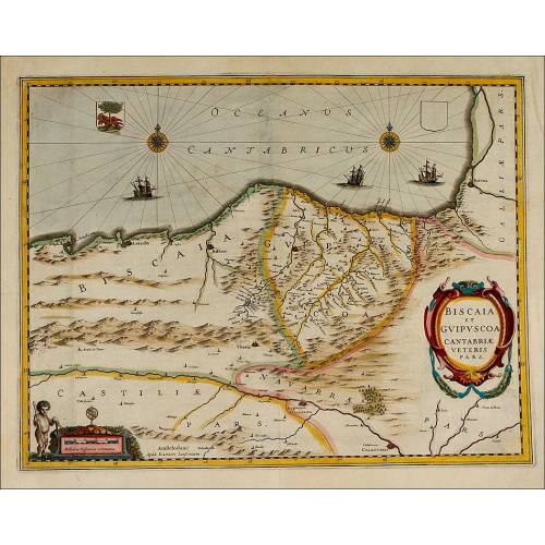
Antique Map of Vizcaya and...
-
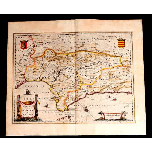
Antique Map of Andalusia, 1638.
-
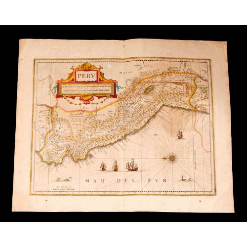
Antique Map of Peru, 1638.
-
Antique Map of Brazilian...
-
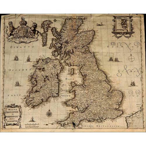
Magnificent Antique Map of...
-
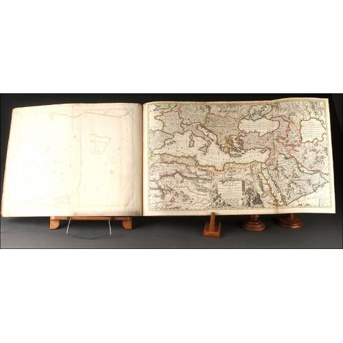
Antique Atlas with 19 Maps by...
-
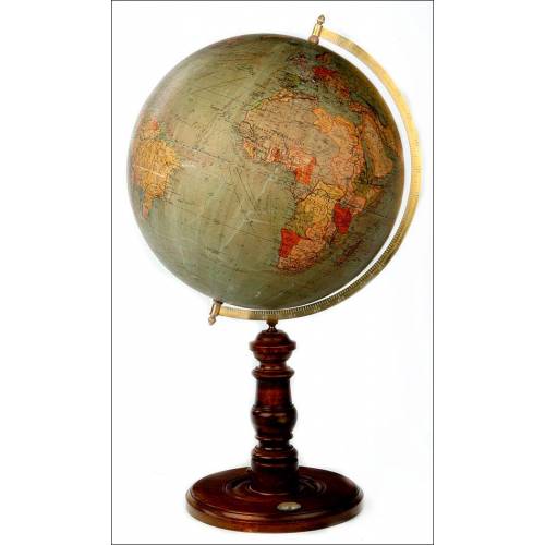
Antique Columbus Globe. Made...
-
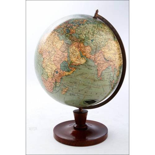
Antique Columbus Earth Globe....
-
Antique Columbus Worl...
-
Antique Adolf Mang World...
-
Antique Map of the Reign of...
-
Attractive Antique Map by...