


A-795
Magnificent Antique Engraving with Map of England and Ireland. Year 1665
Beautiful map of England and Ireland engraved in 1665. Antique and with decorative cartouches.
Sold!
This beautiful engraving in black ink on white paper depicts a complete and detailed map of England and Ireland as they were known in the 17th century. The engraving was made in 1665 so this work of art is more than four hundred years old. Though it shows some slight signs of the trace of time, it is generally in quite good condition. The lower margin shows a slight loss of paper and in the right bottom corner the ink is somewhat deleted. Nevertheless, these details do not interfere at all in the great look and the authenticity of this map, and are part of its past and history. In the left bottom corner we can see a nice classic cartouche with the Latin name of the lands depicted in the map: MAGNA BRITANNIA ET HIBERNIAE NOVA DESCRIPTIO. Hibernia is the ancient name of Ireland, literally meaning Land of Winter. In the two top corners there are two cartouches more: the left one depicts the English coat of arms and the right one contains a small map with the Scottish coast and the Orcas Islands. The coat of arms is very decorative and bears the motto of the Most Noble Order of the Garter: HONI SOIT QUI MAL Y PENSE, a Middle French sentence that means Shame upon him who thinks evil upon it. The illustration rests on another French motto: DIEUX ET MON DROIT (God and my rights). Both inscriptions usually accompany the English coat of arms, traditionally supported by a lion and a unicorn. The engraving is full of details, being a precise and wonderfully drawn representation. The map is completely covered by the names of the places, villages, cities and rivers of the British Islands, and is a great display of thoroughness. On the other hand, the oceans that surround the coasts are illustrated with nice images of elegant caravels and sailboats. At the bottom of the engraving there is a compass rose. To the left of the map we can see the inscription Oceanus Occidentalis, while to the right it says Oceanus Germani. South of the island rests the Oceanus Britannicus and between them we can read the inscription Mare Hibernicum. This amazing Antique map is bound to shine in the most elegant study or the noblest room. Measurements: Paper: Width: 15.7 in/40.1 cm. Height: 13.4 in/34.2 cm. Engraving: Width: 15.2 in/38.7 cm. Height: 1.6 in/32.2 cm.
26 other products in the same category:
-
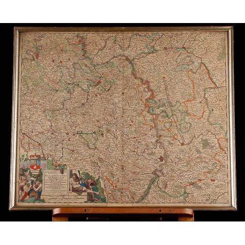
Important Antique Otto Herkt...
-
Beautifully Preserved Antique...
-
Antique Map of 1720 by C....
-
Beautiful Map, Original 1665,...
-
Beautiful Map of the Spanish...
-
Detailed Map of Southern...
-
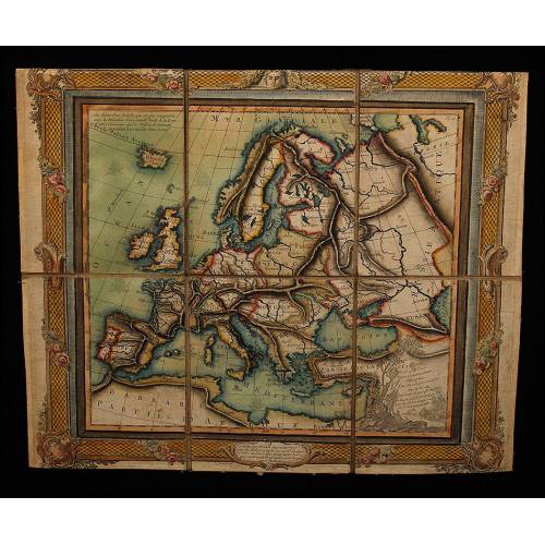
Antique Folding Map of Europe...
-
Nicolas Visscher's Atlas of...
-
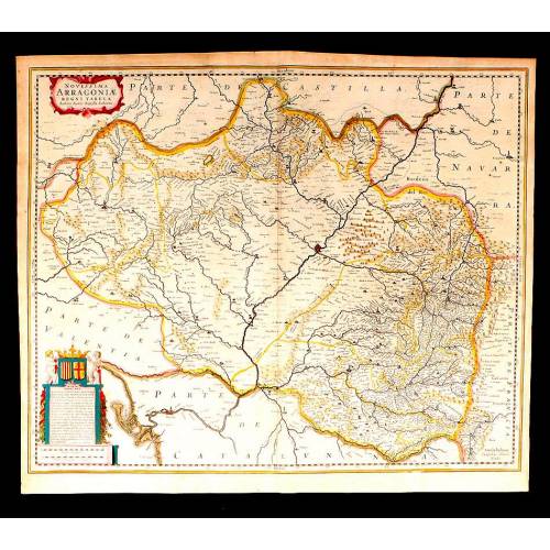
Antique Map of Aragon, 1638
-
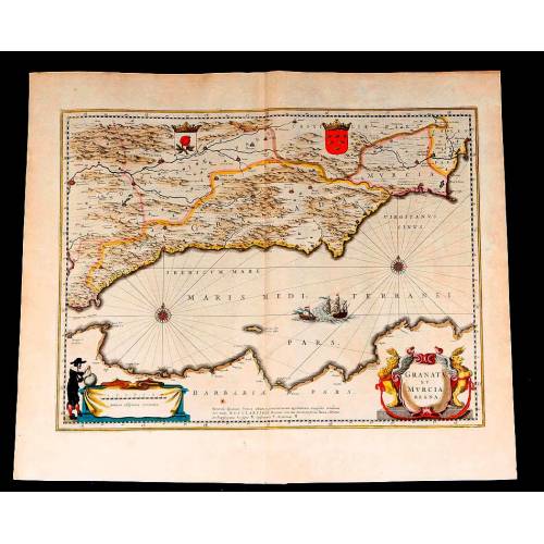
Map of Granada and Murcia...
-
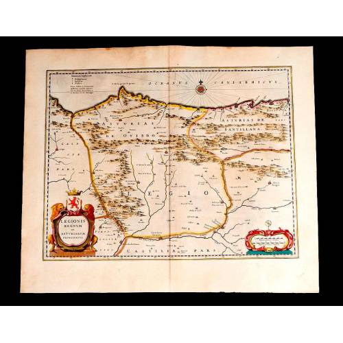
Map of Leon and Asturias....
-
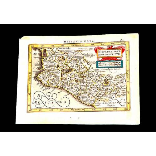
Antique Map of Mexico, 1628.
-
Magnificent Map of the...
-
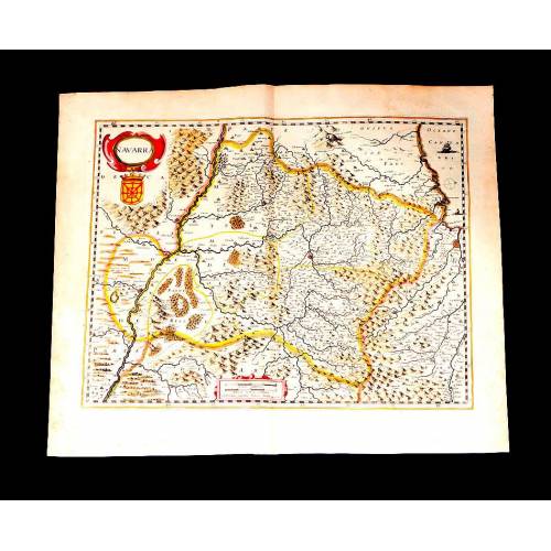
Map of Navarra Antique. 1638
-
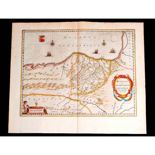
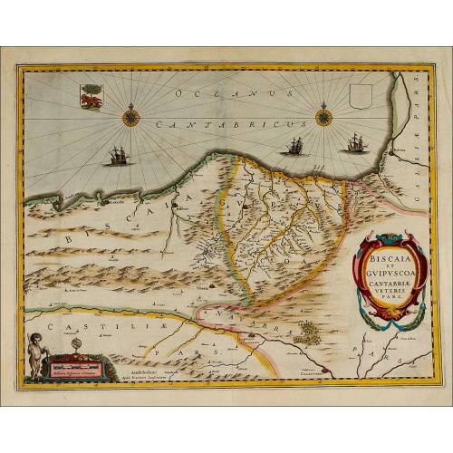
Antique Map of Vizcaya and...
-
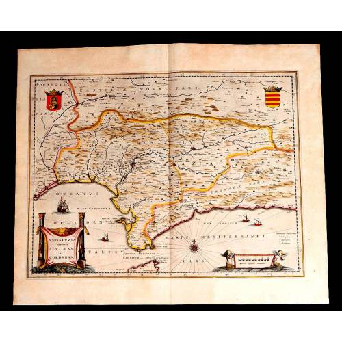
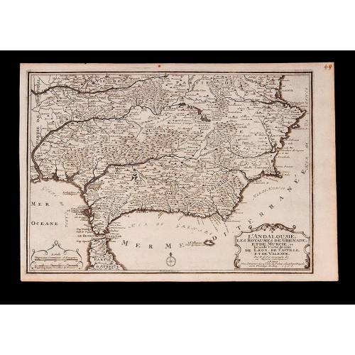
Antique Map of Andalusia, 1638.
-
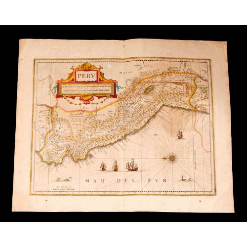
Antique Map of Peru, 1638.
-
Antique Map of Brazilian...
-
Magnificent Antique Map of...
-
Antique Atlas with 19 Maps by...
-
Antique Columbus Globe. Made...
-
Antique Columbus Earth Globe....
-
Antique Columbus Worl...
-
Antique Adolf Mang World...
-
Antique Map of the Reign of...
-
Attractive Antique Map by...