


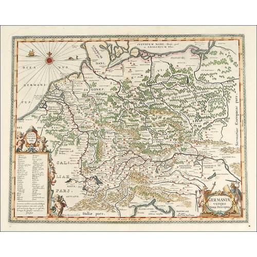
A-807
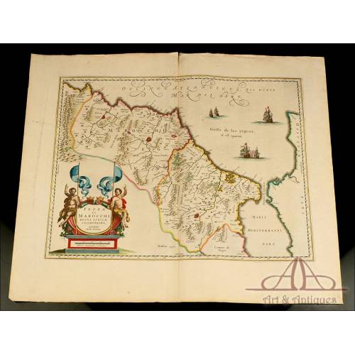
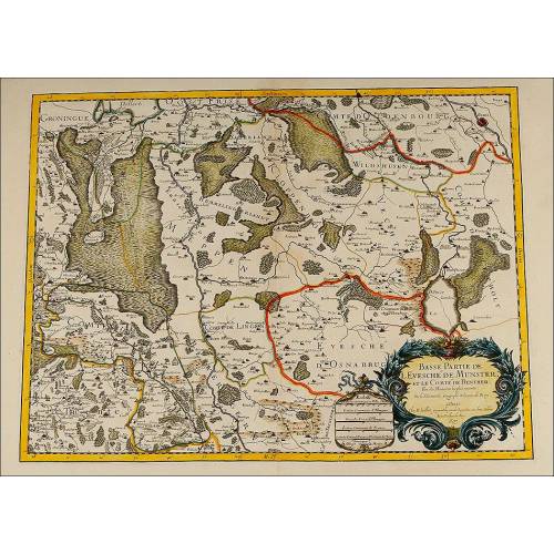
Magnificent Map of the Episcopate of the Rhine by J. Danckerts. Amsterdam, 17th century
Splendid map of the Episcopate of the Rhine, made by J. Danckerts in the 17th century. Original coloring.
Sold!
This impressive antique map is an original Dutch work made in the 17th century by the renowned engraved and editor Justus Danckerts. It is a map of the Episcopate of the Rhine printed in black ink on white paper and illuminated with wonderful colors. The map is quite detailed and shows all the cities and regions on both sides of the river Rhine, with a beautiful cartouche in the left bottom corner that contains the title and description of the work. The engraving comes with its original frame, a slim old molding with a silver leaf finish. The piece is in excellent condition in spite of the centuries that have passed by since it was printed, more than four hundred years ago. The artist that made this fine map, Justus Danckerts (1635-1701) lived all his life in his birthplace, Amsterdam, where he published many quality maps. He belonged to a family of engravers, a dynasty started by Justuss father, Cornelius Danckerts. J. Danckerts published several atlases between 1680 and 1700 in collaboration with his son Theodorus. The quality of Danckertss work is evident is this lovely map, a detailed representation of the land on both sides of the Rhine as it was in the 17th century. The map is colored in red, blue, orange, green and pink tones that provide it with a very special beauty. This beauty is especially remarkable in the big cartouche located in the left bottom corner, where an allegory of river Rhine (the figure to the right) sits on a pedestal that contains the scale. In the center of the cartouche we can see a stone block with the title and the description of the map, while to the left a faun and two figures rejoice and cheer with wine and grapes, symbols of the wine production of this German region. Over them we can see a coat of arms, and crowning the block with the title there is a big cup and a bunch of grapes. This striking map by Justus Danckerts is an original piece that any lover of antique maps will surely appreciate. Measurements: Map: Width: 56 cm. Height: 49 cm. Frame: Width: 59 cm. Height: 51.1 cm.
26 other products in the same category:
-

Important Antique Otto Herkt...
-
Beautifully Preserved Antique...
-
Antique Map of 1720 by C....
-
Beautiful Map, Original 1665,...
-
Beautiful Map of the Spanish...
-
Magnificent Antique Engraving...
-
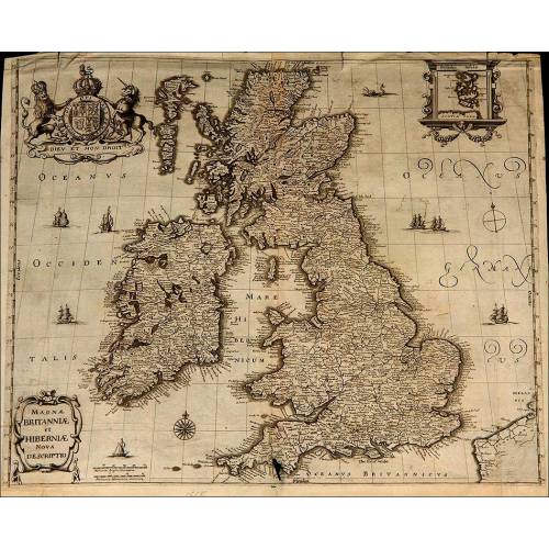
Detailed Map of Southern...
-
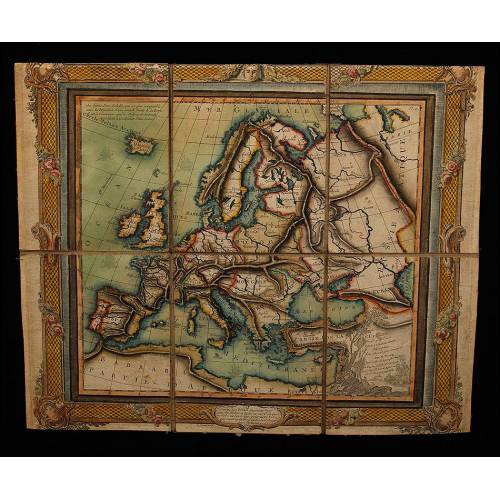
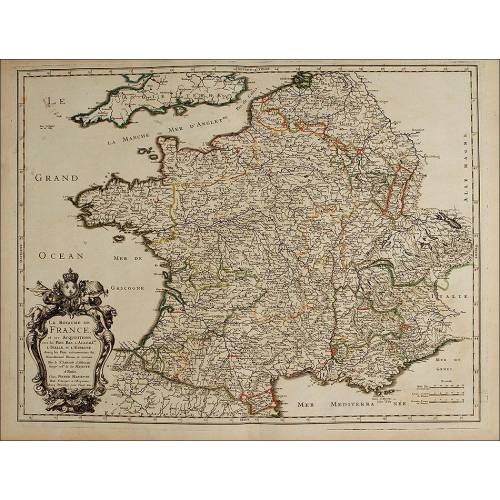
Antique Folding Map of Europe...
-
Nicolas Visscher's Atlas of...
-
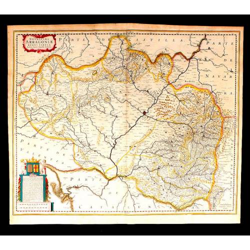
Antique Map of Aragon, 1638
-
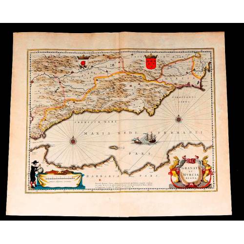
Map of Granada and Murcia...
-
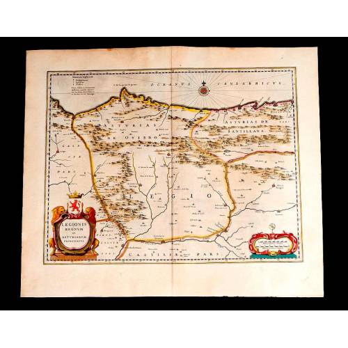
Map of Leon and Asturias....
-
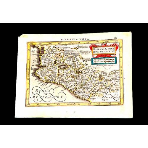
Antique Map of Mexico, 1628.
-
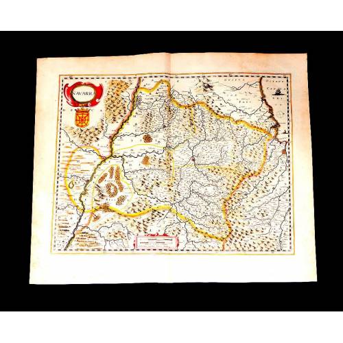
Map of Navarra Antique. 1638
-
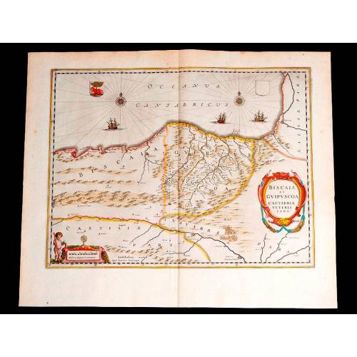
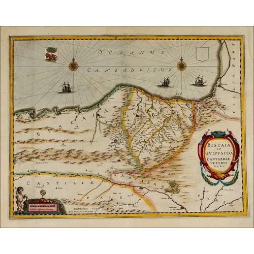
Antique Map of Vizcaya and...
-
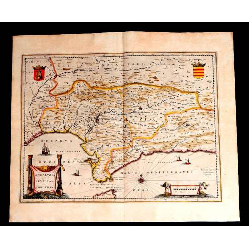
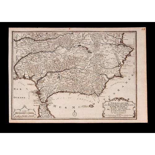
Antique Map of Andalusia, 1638.
-
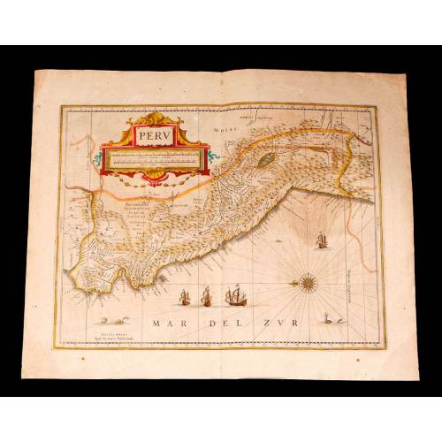
Antique Map of Peru, 1638.
-
Antique Map of Brazilian...
-
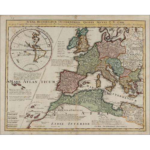
Magnificent Antique Map of...
-
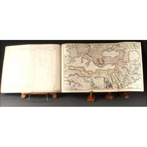
Antique Atlas with 19 Maps by...
-
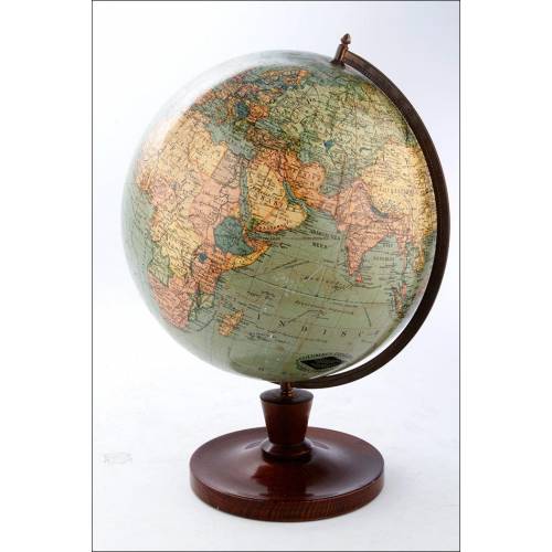
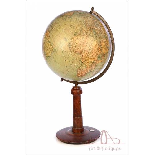
Antique Columbus Globe. Made...
-
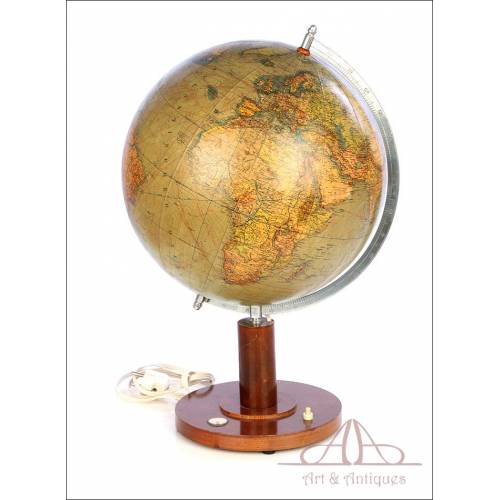
Antique Columbus Earth Globe....
-
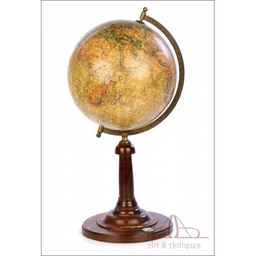
Antique Columbus Worl...
-
Antique Adolf Mang World...
-
Antique Map of the Reign of...
-
Attractive Antique Map by...