


C-893
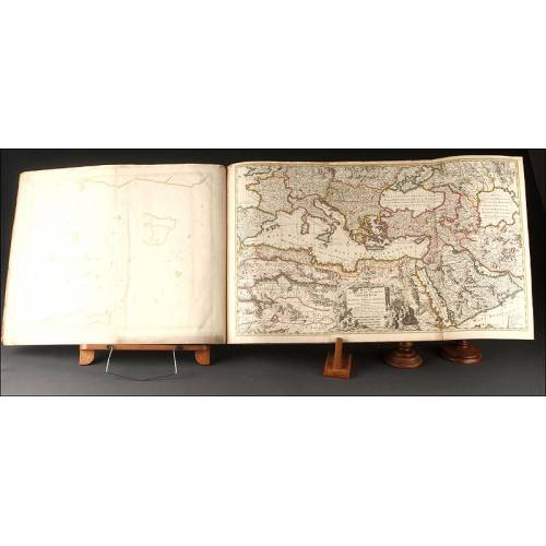
Antique Atlas with 19 Maps by Johann Walch. Augsburg, 1803
Atlas with 19 Maps by Johann Walch, 1803.
Sold!
Gorgeous antique atlas with 19 maps by Johann Walch, published in Augsburg, Germany in 1803. Walch was a cartographer and map publisher that lived and worked between the late 18th and the early 19th centuries. He was married to the daughter of the renowned German publisher Johann Martin Will, whom he succeeded in 1806. The atlas that we can see in these images is complete and remains in striking condition, making it possible to enjoy the wonderful cartographic representations of different countries, continents and regions. The maps are printed in black and color inks on white paper. They show almost no stains or flaws, making up an amazing compendium with the great charm of early-19th-century maps. The atlas includes maps of the worlds continents and seas, and also representations of concrete countries and regions. They are all listed in a handwritten index. Each map bears the printed inscription Zu finden bey Joh. Walch in Ausgburg, a feature that certifies that they were printed by him. The maps also include the names of the depicted areas in a fine big cursive lettering. All the maps bear the names of the most important cities, places, geographical features and landforms. The shapes of the regions and the names are printed in black ink, enhanced by areas in pink, yellow, green, blue and red colors. All the pages are bound in an antique hand-sewn cardboard binding covered by an old-time marbled paper. The binding is slightly worn by the trace of time and the use, but it has fulfilled perfectly its duty: today all the maps have survived to our days and remain in great condition This superb antique atlas with 19 maps by Johann Walch deserves a honor place in the best library ever. Measurements: Width: 10.4 in / 26.5 cm. Height: 8.2 in / 20.5 cm.
26 other products in the same category:
-
Important Antique Otto Herkt...
-
Beautifully Preserved Antique...
-
Antique Map of 1720 by C....
-
Beautiful Map, Original 1665,...
-
Beautiful Map of the Spanish...
-
Magnificent Antique Engraving...
-
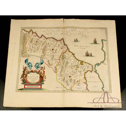
Detailed Map of Southern...
-
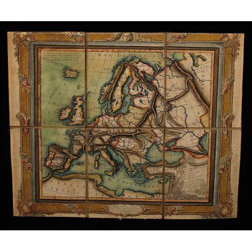
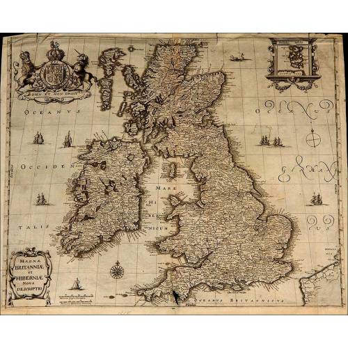
Antique Folding Map of Europe...
-
Nicolas Visscher's Atlas of...
-
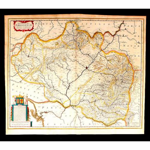
Antique Map of Aragon, 1638
-
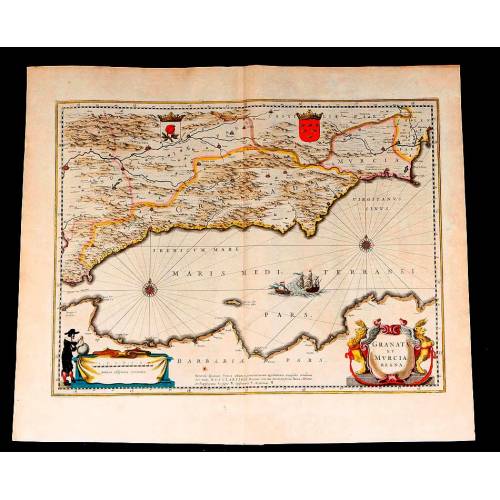
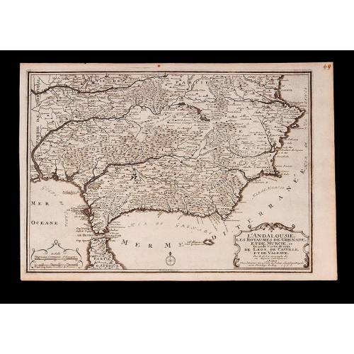
Map of Granada and Murcia...
-
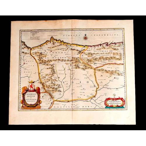
Map of Leon and Asturias....
-
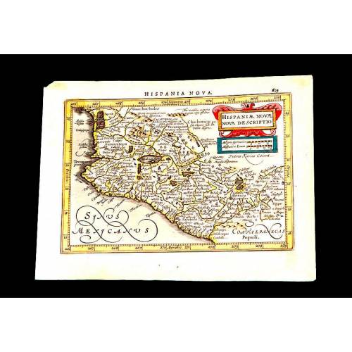
Antique Map of Mexico, 1628.
-
Magnificent Map of the...
-
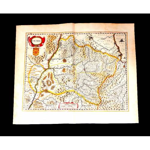
Map of Navarra Antique. 1638
-
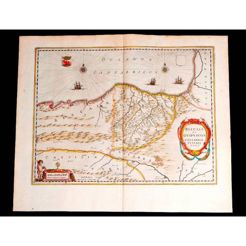
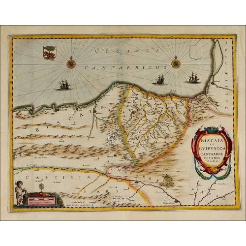
Antique Map of Vizcaya and...
-
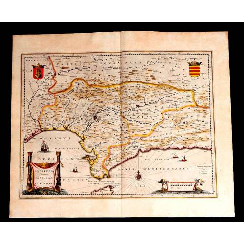
Antique Map of Andalusia, 1638.
-
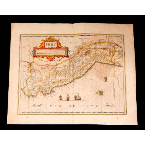
Antique Map of Peru, 1638.
-
Antique Map of Brazilian...
-
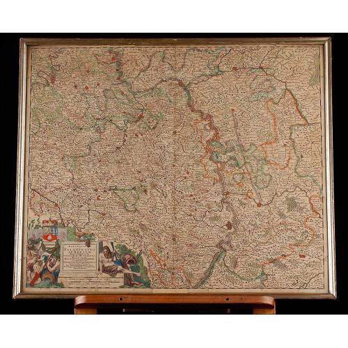
Magnificent Antique Map of...
-
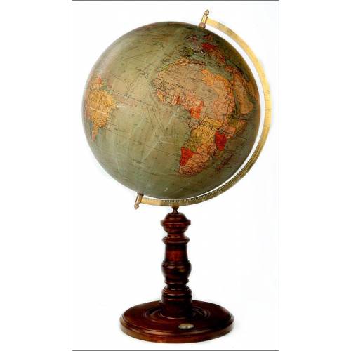
Antique Columbus Globe. Made...
-
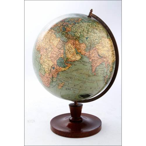
Antique Columbus Earth Globe....
-
Antique Columbus Worl...
-
Antique Adolf Mang World...
-
Antique Map of the Reign of...
-
Attractive Antique Map by...