


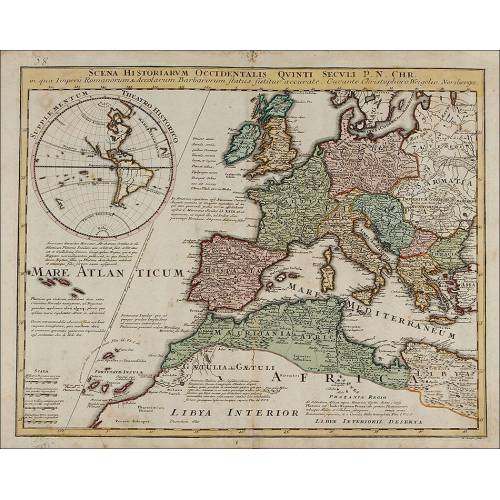
D-007
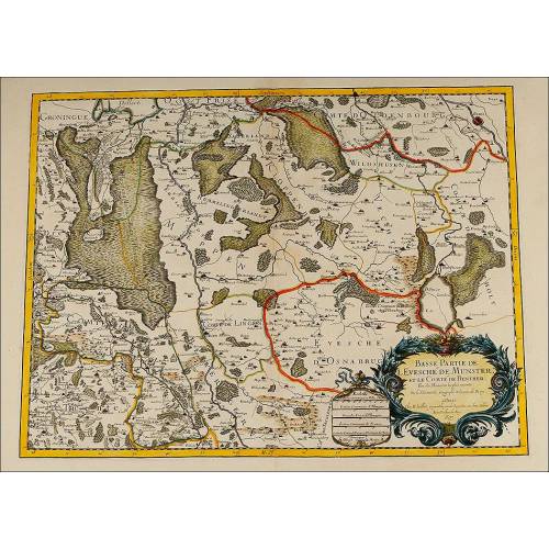
Antique Map of the Reign of Morocco and Fez. Netherlands, Circa 1641
Amazing antique map of the Reign of Morocco and Fez in good condition. Original work from the 17th century. Engraving by Abraham Ortelius.
Sold!
Gorgeous antique map of the Reign of Morocco and Fez printed in the Netherlands circa 1641, in full color and in very good condition. The original engraving was made by Abraham Ortelius, a famous cartographer and engraved who was called the Ptolemy of the 16th century. The map that we can see in the images is a 16th-century printing from the original engraving plate made by Ortelius. The map shows the Moroccan territory which in those days was divided in two parts: Morocco and Fez. The map has a central crease which is not a flaw but just the place where the two pages connect, so the work is complete and is not affected by this feature. The joint is loose about 3 cm, but it's at the joint, not on the map. The map has no tears or faults. The map is printed in black ink and includes different colors that provide it with a singular beauty, enhanced by the lovely cartouche at the bottom left corner where two fauns sit on a pedestal with the engraver name. The back side of the map is printed with an explanation in German. Any lover of old-time maps will appreciate the authenticity and beauty of this antique map of the Reign of Morocco and Fez, worthy of decorating a stately dining room or a stylish library. Dimensions: Engraving: Width: 20 in / 50 cm. Height: 15.4 in / 38 cm. Total Width: 24.2 in / 60.5 cm. Total Height: 20.4 in / 51 cm.
26 other products in the same category:
-
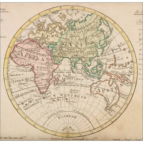
Important Antique Otto Herkt...
-
Beautifully Preserved Antique...
-
Antique Map of 1720 by C....
-
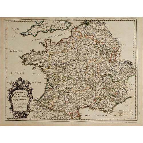
Beautiful Map, Original 1665,...
-
Beautiful Map of the Spanish...
-
Magnificent Antique Engraving...
-
Detailed Map of Southern...
-
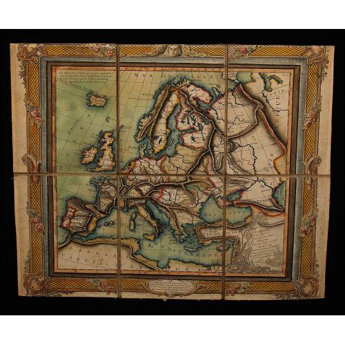
Antique Folding Map of Europe...
-
Nicolas Visscher's Atlas of...
-
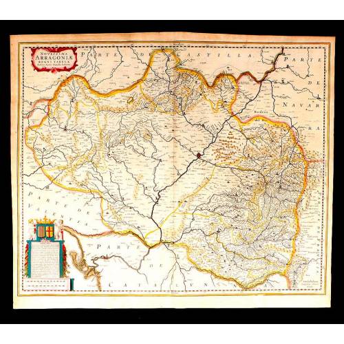
Antique Map of Aragon, 1638
-
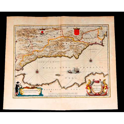
Map of Granada and Murcia...
-
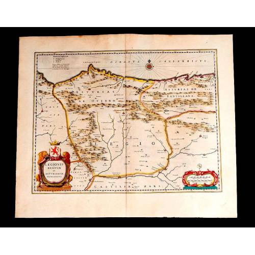
Map of Leon and Asturias....
-
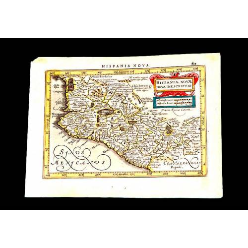
Antique Map of Mexico, 1628.
-
Magnificent Map of the...
-
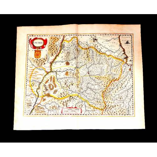
Map of Navarra Antique. 1638
-
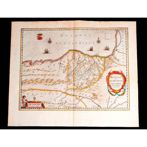
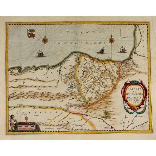
Antique Map of Vizcaya and...
-
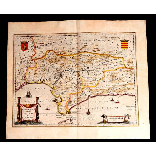
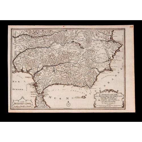
Antique Map of Andalusia, 1638.
-
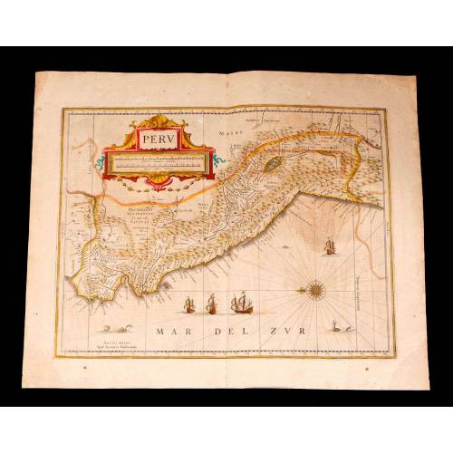
Antique Map of Peru, 1638.
-
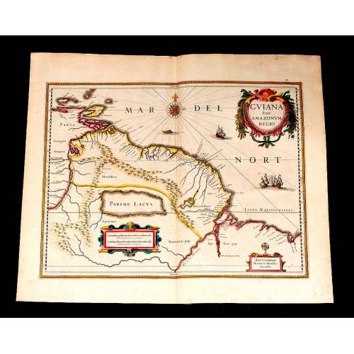
Antique Map of Brazilian...
-
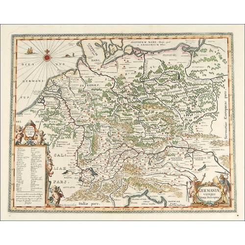
Magnificent Antique Map of...
-
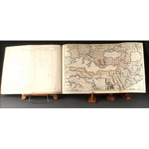
Antique Atlas with 19 Maps by...
-
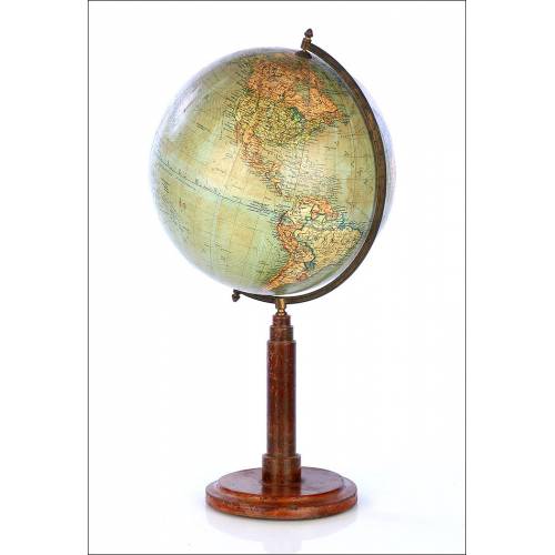
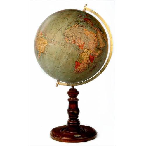
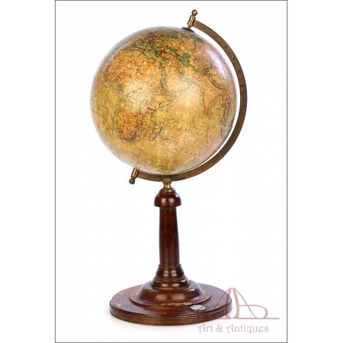
Antique Columbus Globe. Made...
-
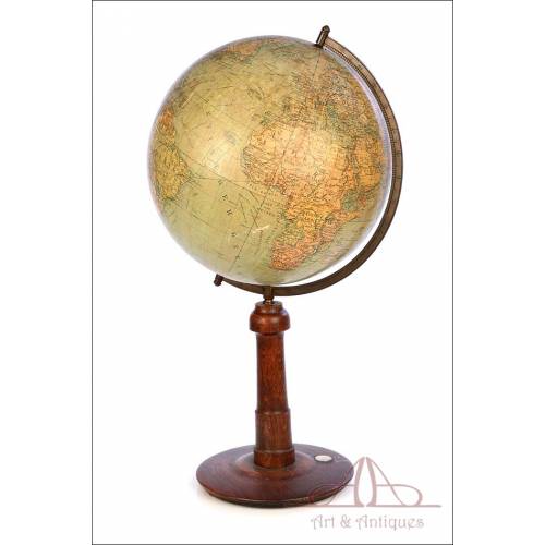
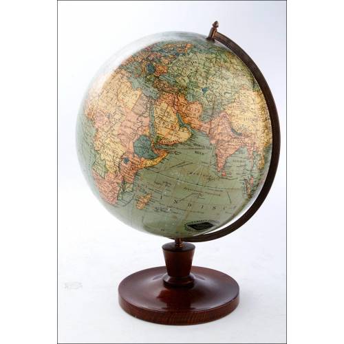
Antique Columbus Earth Globe....
-
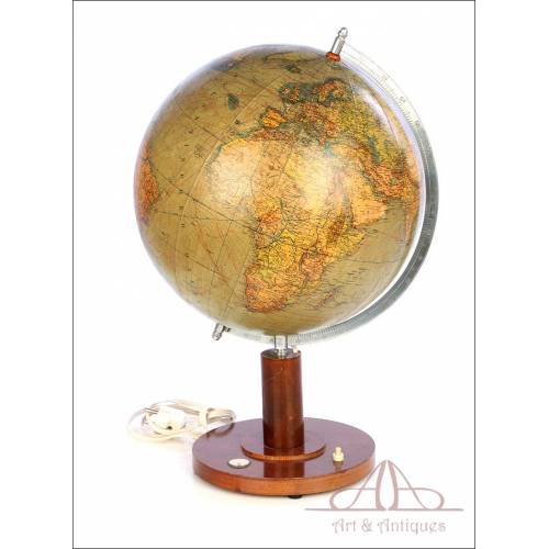
Antique Columbus Worl...
-
Antique Adolf Mang World...
-
Attractive Antique Map by...